Greater Sudbury night lights from space
Night Light of Greater Sudbury (Ontario) from space (Canada) Src. Average luminocity for 10x10km area is 58.2003% and for 50x50km: 6.9697%.
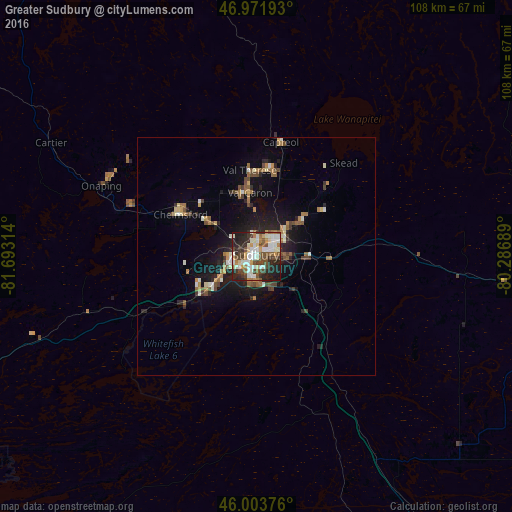
Analysis of Greater Sudbury night lights 2016
Square area 10x10 km:
 10.51%
90-99
18.32%80-89
6.11%70-79
4.12%60-69
5.82%50-59
7.81%40-49
13.21%30-39
5.68%20-29
18.75%10-19
9.52%0-9
0.14%Square area 50x50 km:
0.51%90-99
1.38%80-89
0.61%70-79
0.62%60-69
1.12%50-59
0.96%40-49
1.43%30-39
0.65%20-29
2.2%10-19
4.99%0-9
85.54%Clear (daylight) street map image can be seen on geolist.org.
Map coordinates:
46° 58' 18.9" North, 81° 41' 35.3" West
46° 29' 24" North, 80° 59' 24" West
46° 0' 13.5" North, 80° 17' 12.8" West
Some cities around Greater Sudbury sort by population:
• North Bay
118.4 km =73.6 mi,  99°
99°
• Huntsville
188.1 km =116.9 mi,  133°
133°
• Valley East
19.8 km =12.3 mi,  357°
357°
• Rayside-Balfour
21.2 km =13.2 mi,  308°
308°
• Elliot Lake
126.5 km =78.6 mi,  264°
264°
• Temiskaming Shores
147.7 km =91.8 mi,  40°
40°
• Parry Sound
147 km =91.3 mi,  149°
149°
• Lively
13.8 km =8.6 mi,  242°
242°
5964700 (p: 157,857)
Sources (retrieved 2019-11-25):
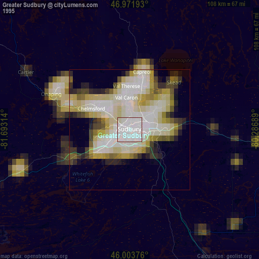
» NASA, Earths city lights 1995
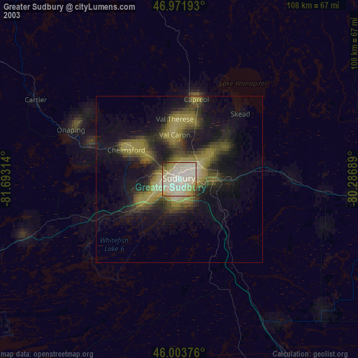
» NASA city lights 2003
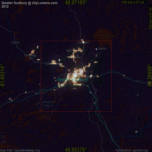
» Earth at Night: Flat Maps 2012, 2016