Bracebridge night lights from space
Night Light of Bracebridge (Ontario) from space (Canada) Src. Average luminocity for 10x10km area is 13.8429% and for 50x50km: 0.974%.
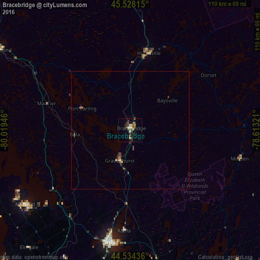
Analysis of Bracebridge night lights 2016
Square area 10x10 km:
 0.79%
0.79%90-99
1.75%80-89
0.95%70-79
2.22%60-69
0.63%50-59
2.86%40-49
5.08%30-39
3.17%20-29
2.54%10-19
1.43%0-9
78.57%Square area 50x50 km:
0.03%90-99
0.07%80-89
0.1%70-79
0.12%60-69
0.1%50-59
0.21%40-49
0.4%30-39
0.2%20-29
0.23%10-19
0.11%0-9
98.42%Clear (daylight) street map image can be seen on geolist.org.
Map coordinates:
45° 31' 41.3" North, 80° 1' 10.1" West
45° 2' 0.3" North, 79° 18' 58.8" West
44° 32' 3.7" North, 78° 36' 47.6" West
Some cities around Bracebridge sort by population:
• Barrie
75.7 km =47 mi,  201°
201°
• Orillia
47.9 km =29.8 mi,  189°
189°
• Midland
54.6 km =33.9 mi,  234°
234°
• Huntsville
34.3 km =21.3 mi,  13°
13°
• Wasaga Beach
79.7 km =49.5 mi,  223°
223°
• Innisfil
85.7 km =53.3 mi, 197°
• Parry Sound
66.3 km =41.2 mi,  301°
301°
• Gravenhurst
13.5 km =8.4 mi, 196°
5907092 (p: 8,238)
Sources (retrieved 2019-11-25):
» Earth at Night: Flat Maps 2012, 2016