Elliot Lake night lights from space
Night Light of Elliot Lake (Ontario) from space (Canada) Src. Average luminocity for 10x10km area is 6.1086% and for 50x50km: 0.333%.
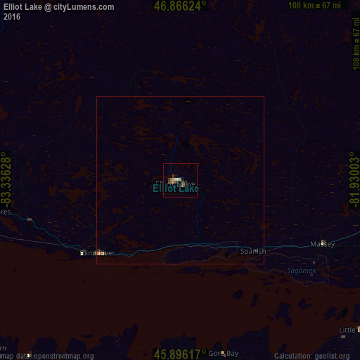
Analysis of Elliot Lake night lights 2016
Square area 10x10 km:
 0.74%
0.74%90-99
0.45%80-89
0.45%70-79
0.74%60-69
0.89%50-59
2.08%40-49
1.19%30-39
0.74%20-29
2.23%10-19
0%0-9
90.48%Square area 50x50 km:
0.03%90-99
0.02%80-89
0.02%70-79
0.08%60-69
0.04%50-59
0.11%40-49
0.05%30-39
0.05%20-29
0.14%10-19
0.03%0-9
99.44%Clear (daylight) street map image can be seen on geolist.org.
Map coordinates:
46° 51' 58.5" North, 83° 20' 10.6" West
46° 23' 0.1" North, 82° 37' 59.3" West
45° 53' 46.2" North, 81° 55' 48.1" West
Some cities around Elliot Lake sort by population:
• Greater Sudbury
126.5 km =78.6 mi,  84°
84°
• Sault Ste. Marie
131.1 km =81.5 mi,  276°
276°
• Valley East
128.9 km =80.1 mi, 75°
• Rayside-Balfour
112 km =69.6 mi, 77°
• Sault Ste. Marie, US
131.8 km =81.9 mi, 275°
• Alpena, US
159.5 km =99.1 mi,  202°
202°
• Petoskey, US
211.9 km =131.7 mi,  238°
238°
• Lively
113.9 km =70.8 mi,  87°
87°
5947866 (p: 12,508)
Sources (retrieved 2019-11-25):
» Earth at Night: Flat Maps 2012, 2016