Fernie night lights from space
Night Light of Fernie (British Columbia) from space (Canada) Src. Average luminocity for 10x10km area is 5.3711% and for 50x50km: 0.2892%.
Analysis of Fernie night lights 2016
Square area 10x10 km:
 0.84%
0.84%90-99
0.84%80-89
0%70-79
0.98%60-69
1.26%50-59
0.14%40-49
2.1%30-39
0.56%20-29
0%10-19
0.56%0-9
92.72%Square area 50x50 km:
0.03%90-99
0.05%80-89
0%70-79
0.04%60-69
0.07%50-59
0.05%40-49
0.08%30-39
0.02%20-29
0.01%10-19
0.05%0-9
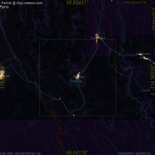
99.59%Clear (daylight) street map image can be seen on geolist.org.
Map coordinates:
49° 57' 16.1" North, 115° 46' 18.6" West
49° 29' 59.9" North, 115° 4' 7.4" West
49° 2' 28.2" North, 114° 21' 56.1" West
Some cities around Fernie sort by population:
• Kalispell, US
155.2 km =96.4 mi,  159°
159°
• Cranbrook
50.6 km =31.4 mi,  269°
269°
• Okotoks
157 km =97.6 mi,  29°
29°
• High River
147.8 km =91.8 mi,  35°
35°
• Evergreen, US
153.1 km =95.1 mi, 157°
• Whitefish, US
132.3 km =82.2 mi, 156°
• Kimberley
68.2 km =42.4 mi,  286°
286°
• Columbia Falls, US
141.1 km =87.7 mi,  152°
152°
5952370 (p: 5,019)
Sources (retrieved 2019-11-25):
» Earth at Night: Flat Maps 2012, 2016