Cranbrook night lights from space
Night Light of Cranbrook (British Columbia) from space (Canada) Src. Average luminocity for 10x10km area is 16.5042% and for 50x50km: 0.9014%.
Analysis of Cranbrook night lights 2016
Square area 10x10 km:
 1.54%
1.54%90-99
1.26%80-89
2.52%70-79
3.64%60-69
1.82%50-59
4.34%40-49
2.94%30-39
1.12%20-29
0.42%10-19
8.82%0-9
71.57%Square area 50x50 km:
0.06%90-99
0.05%80-89
0.1%70-79
0.15%60-69
0.11%50-59
0.29%40-49
0.19%30-39
0.11%20-29
0.06%10-19
0.47%0-9
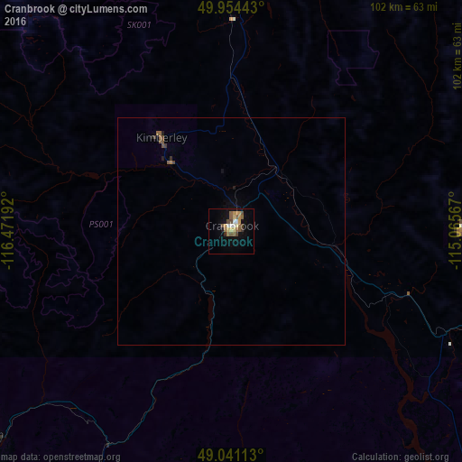
98.42%Clear (daylight) street map image can be seen on geolist.org.
Map coordinates:
49° 57' 15.9" North, 116° 28' 18.9" West
49° 29' 59.7" North, 115° 46' 7.6" West
49° 2' 28.1" North, 115° 3' 56.4" West
Some cities around Cranbrook sort by population:
• Nelson
109.5 km =68 mi,  269°
269°
• Trail
147.1 km =91.4 mi,  252°
252°
• Castlegar
138.1 km =85.8 mi,  261°
261°
• Sandpoint, US
147.6 km =91.7 mi,  202°
202°
• Whitefish, US
159.9 km =99.4 mi,  139°
139°
• Kimberley
24.2 km =15 mi,  321°
321°
• Columbia Falls, US
170.7 km =106.1 mi, 137°
• Fernie
50.6 km =31.4 mi,  89°
89°
5931800 (p: 18,610)
Sources (retrieved 2019-11-25):
» Earth at Night: Flat Maps 2012, 2016