Kimberley night lights from space
Night Light of Kimberley (British Columbia) from space (Canada) Src. Average luminocity for 10x10km area is 4.1725% and for 50x50km: 0.881%.
Analysis of Kimberley night lights 2016
Square area 10x10 km:
 0%
0%90-99
0%80-89
0%70-79
0%60-69
0.8%50-59
2.81%40-49
1.74%30-39
1.47%20-29
0.67%10-19
1.07%0-9
91.44%Square area 50x50 km:
0.06%90-99
0.05%80-89
0.1%70-79
0.14%60-69
0.1%50-59
0.29%40-49
0.19%30-39
0.1%20-29
0.06%10-19
0.46%0-9
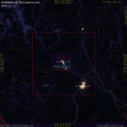
98.45%Clear (daylight) street map image can be seen on geolist.org.
Map coordinates:
50° 7' 25.1" North, 116° 40' 50.6" West
49° 40' 14.6" North, 115° 58' 39.4" West
49° 12' 48.7" North, 115° 16' 28.1" West
Some cities around Kimberley sort by population:
• Cranbrook
24.2 km =15 mi,  141°
141°
• Canmore
163.2 km =101.4 mi,  15°
15°
• Nelson
96.2 km =59.8 mi,  258°
258°
• Trail
140 km =87 mi,  243°
243°
• Castlegar
127.4 km =79.2 mi,  252°
252°
• Sandpoint, US
160.6 km =99.8 mi,  195°
195°
• Banff
169.9 km =105.6 mi,  9°
9°
• Fernie
68.2 km =42.4 mi,  106°
106°
5992059 (p: 6,513)
Sources (retrieved 2019-11-25):
» Earth at Night: Flat Maps 2012, 2016