High River night lights from space
Night Light of High River (Alberta) from space (Canada) Src. Average luminocity for 10x10km area is 12.3155% and for 50x50km: 1.6273%.
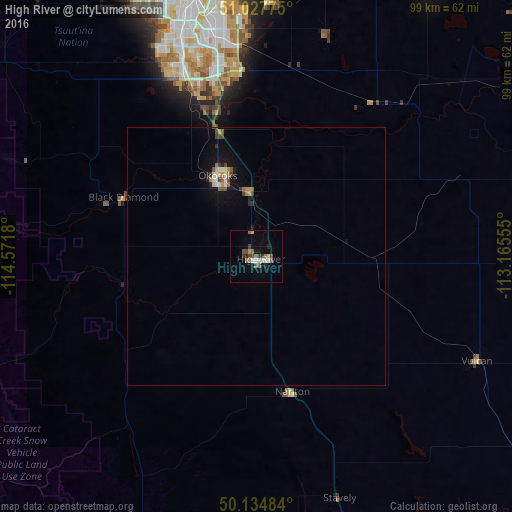
Analysis of High River night lights 2016
Square area 10x10 km:
 0.94%
0.94%90-99
1.74%80-89
1.2%70-79
1.34%60-69
0.94%50-59
4.01%40-49
1.87%30-39
2.27%20-29
1.74%10-19
1.2%0-9
82.75%Square area 50x50 km:
0.12%90-99
0.23%80-89
0.13%70-79
0.22%60-69
0.12%50-59
0.37%40-49
0.25%30-39
0.26%20-29
0.22%10-19
0.97%0-9
97.12%Clear (daylight) street map image can be seen on geolist.org.
Map coordinates:
51° 1' 39.9" North, 114° 34' 18.5" West
50° 35' 0.3" North, 113° 52' 7.2" West
50° 8' 5.4" North, 113° 9' 56" West
Some cities around High River sort by population:
• Calgary
54.1 km =33.6 mi,  343°
343°
• Lethbridge
123.5 km =76.7 mi,  142°
142°
• Airdrie
80.5 km =50 mi,  351°
351°
• Cochrane
78.9 km =49 mi,  327°
327°
• Okotoks
18.1 km =11.2 mi, 333°
• Strathmore
62 km =38.5 mi,  33°
33°
• Canmore
118.1 km =73.4 mi,  298°
298°
• Coaldale
131.2 km =81.5 mi, 137°
5975038 (p: 9,826)
Sources (retrieved 2019-11-25):
» Earth at Night: Flat Maps 2012, 2016