Whitefish night lights from space
Night Light of Whitefish (Montana) from space (United States) Src. Average luminocity for 10x10km area is 7.2784% and for 50x50km: 2.1394%.
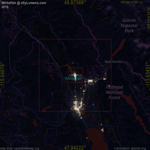
Analysis of Whitefish night lights 2016
Square area 10x10 km:
 0.43%
0.43%90-99
2.41%80-89
0%70-79
1.14%60-69
0.85%50-59
0.57%40-49
0.85%30-39
0.85%20-29
1.7%10-19
1.99%0-9
89.2%Square area 50x50 km:
0.27%90-99
0.41%80-89
0.12%70-79
0.22%60-69
0.26%50-59
0.28%40-49
0.34%30-39
0.33%20-29
0.53%10-19
1.3%0-9
95.93%Clear (daylight) street map image can be seen on geolist.org.
Map coordinates:
48° 52' 32.4" North, 115° 2' 26.7" West
48° 24' 39.9" North, 114° 20' 15.5" West
47° 56' 32" North, 113° 38' 4.2" West
Some cities around Whitefish sort by population:
• Missoula
173 km =107.5 mi,  171°
171°
• Kalispell
24 km =14.9 mi,  175°
175°
• Cranbrook, CA
159.9 km =99.4 mi,  319°
319°
• Sandpoint
164.4 km =102.2 mi,  264°
264°
• Evergreen
21.1 km =13.1 mi, 167°
• Orchard Homes
173.5 km =107.8 mi, 172°
• Columbia Falls
12.3 km =7.6 mi,  110°
110°
• Fernie, CA
132.3 km =82.2 mi,  336°
336°
5686121 (p: 7,073)
Sources (retrieved 2019-11-25):
» Earth at Night: Flat Maps 2012, 2016