Sharkawshchyna night lights from space
Night Light of Sharkawshchyna (Vitebsk) from space (Belarus) Src. Average luminocity for 10x10km area is 0.3505% and for 50x50km: 0.0312%.
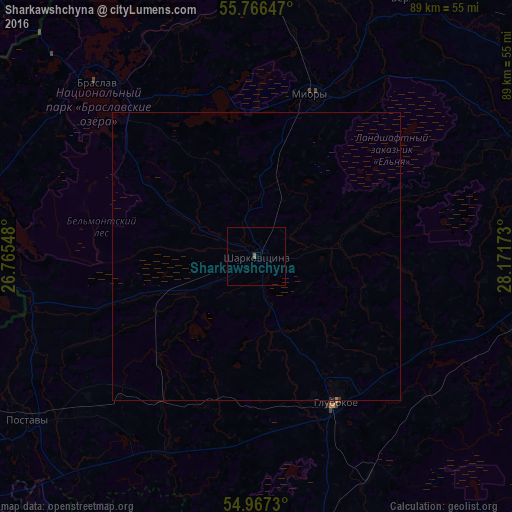
Analysis of Sharkawshchyna night lights 2016
Square area 10x10 km:
 0%
0%90-99
0%80-89
0%70-79
0%60-69
0%50-59
0.48%40-49
0%30-39
0%20-29
0%10-19
0%0-9
99.52%Square area 50x50 km:
0%90-99
0%80-89
0%70-79
0%60-69
0.01%50-59
0.02%40-49
0%30-39
0.01%20-29
0.01%10-19
0.01%0-9
99.94%Clear (daylight) street map image can be seen on geolist.org.
Map coordinates:
55° 45' 59.3" North, 26° 45' 55.7" East
55° 22' 8" North, 27° 28' 7" East
54° 58' 2.3" North, 28° 10' 18.2" East
Some cities around Sharkawshchyna sort by population:
• Hlybokaye
29.2 km =18.1 mi,  151°
151°
• Pastavy
49.1 km =30.5 mi,  235°
235°
• Braslaw
40.5 km =25.2 mi,  318°
318°
• Krāslava, LV
61.5 km =38.2 mi,  342°
342°
• Myory
29.9 km =18.6 mi,  19°
19°
• Myadzyel
64.1 km =39.8 mi,  211°
211°
• Dokshytsy
56.3 km =35 mi,  160°
160°
• Vyerkhnyadzvinsk
54.2 km =33.7 mi,  33°
33°
622179 (p: 7,500)
Sources (retrieved 2019-11-25):
» Earth at Night: Flat Maps 2012, 2016