Hlybokaye night lights from space
Night Light of Hlybokaye (Vitebsk) from space (Belarus) Src. Average luminocity for 10x10km area is 2.0464% and for 50x50km: 0.0817%.
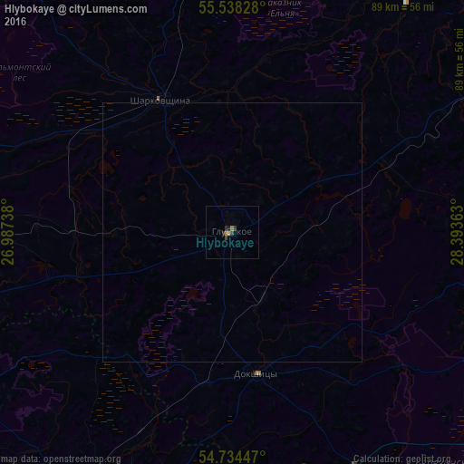

Analysis of Hlybokaye night lights 2016
Square area 10x10 km:
 0%
0%90-99
0%80-89
0%70-79
0.5%60-69
1%50-59
0%40-49
0%30-39
1.5%20-29
1%10-19
0.5%0-9
95.49%Square area 50x50 km:
0%90-99
0%80-89
0%70-79
0.02%60-69
0.04%50-59
0%40-49
0%30-39
0.06%20-29
0.04%10-19
0.02%0-9
99.82%Clear (daylight) street map image can be seen on geolist.org.
Map coordinates:
55° 32' 17.8" North, 26° 59' 14.6" East
55° 8' 18.2" North, 27° 41' 25.8" East
54° 44' 4.1" North, 28° 23' 37.1" East
Some cities around Hlybokaye sort by population:
• Pastavy
54.6 km =33.9 mi,  267°
267°
• Lyepyel’
70.4 km =43.7 mi,  113°
113°
• Braslaw
69.3 km =43.1 mi,  323°
323°
• Myory
53.9 km =33.5 mi,  355°
355°
• Myadzyel
56 km =34.8 mi,  239°
239°
• Dokshytsy
27.8 km =17.3 mi,  169°
169°
• Sharkawshchyna
29.2 km =18.1 mi,  331°
331°
• Ushachy
59 km =36.7 mi,  85°
85°
627908 (p: 22,000)
Sources (retrieved 2019-11-25):
» Earth at Night: Flat Maps 2012, 2016