Dokshytsy night lights from space
Night Light of Dokshytsy (Vitebsk) from space (Belarus) Src. Average luminocity for 10x10km area is 0.7524% and for 50x50km: 0.0717%.
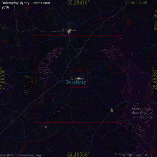
Analysis of Dokshytsy night lights 2016
Square area 10x10 km:
 0%
0%90-99
0%80-89
0%70-79
0.12%60-69
0.36%50-59
0.48%40-49
0%30-39
0%20-29
0.48%10-19
0%0-9
98.56%Square area 50x50 km:
0%90-99
0%80-89
0%70-79
0.01%60-69
0.02%50-59
0.02%40-49
0.01%30-39
0.02%20-29
0.04%10-19
0%0-9
99.86%Clear (daylight) street map image can be seen on geolist.org.
Map coordinates:
55° 17' 39" North, 27° 3' 48.9" East
54° 53' 30.5" North, 27° 46' 0.1" East
54° 29' 7.4" North, 28° 28' 11.4" East
Some cities around Dokshytsy sort by population:
• Vilyeyka
70.7 km =43.9 mi,  231°
231°
• Hlybokaye
27.8 km =17.3 mi,  349°
349°
• Pastavy
64.6 km =40.1 mi,  292°
292°
• Lyepyel’
59.6 km =37 mi,  91°
91°
• Myadzyel
53.1 km =33 mi,  268°
268°
• Plyeshchanitsy
52.2 km =32.4 mi,  175°
175°
• Sharkawshchyna
56.3 km =35 mi,  340°
340°
• Ushachy
62.8 km =39 mi,  59°
59°
629002 (p: 8,190)
Sources (retrieved 2019-11-25):
» Earth at Night: Flat Maps 2012, 2016