Myory night lights from space
Night Light of Myory (Vitebsk) from space (Belarus) Src. Average luminocity for 10x10km area is 0.4336% and for 50x50km: 0.0465%.
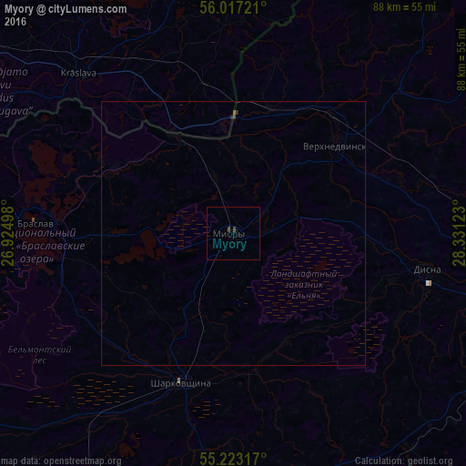
Analysis of Myory night lights 2016
Square area 10x10 km:
 0%
0%90-99
0%80-89
0%70-79
0%60-69
0%50-59
0%40-49
0.5%30-39
0.5%20-29
0%10-19
0%0-9
99%Square area 50x50 km:
0%90-99
0%80-89
0%70-79
0%60-69
0%50-59
0.02%40-49
0.04%30-39
0.02%20-29
0.03%10-19
0%0-9
99.89%Clear (daylight) street map image can be seen on geolist.org.
Map coordinates:
56° 1' 2" North, 26° 55' 29.9" East
55° 37' 19.9" North, 27° 37' 41.2" East
55° 13' 23.4" North, 28° 19' 52.4" East
Some cities around Myory sort by population:
• Navapolatsk
61.8 km =38.4 mi,  99°
99°
• Hlybokaye
53.9 km =33.5 mi,  175°
175°
• Braslaw
36.9 km =22.9 mi,  273°
273°
• Krāslava, LV
41.8 km =26 mi,  316°
316°
• Vyerkhnyadzvinsk
26 km =16.2 mi,  48°
48°
• Sharkawshchyna
29.9 km =18.6 mi,  199°
199°
• Dagda, LV
52.9 km =32.9 mi,  353°
353°
• Aglona, LV
68.7 km =42.7 mi,  325°
325°
625130 (p: 10,649)
Sources (retrieved 2019-11-25):
» Earth at Night: Flat Maps 2012, 2016