Krāslava night lights from space
Night Light of Krāslava (Krāslavas novads) from space (Latvia) Src. Average luminocity for 10x10km area is 0% and for 50x50km: 0.0673%.
Analysis of Krāslava night lights 2016
Square area 10x10 km:
 0%
0%90-99
0%80-89
0%70-79
0%60-69
0%50-59
0%40-49
0%30-39
0%20-29
0%10-19
0%0-9
100%Square area 50x50 km:
0%90-99
0%80-89
0.02%70-79
0%60-69
0%50-59
0%40-49
0.04%30-39
0%20-29
0.07%10-19
0.06%0-9
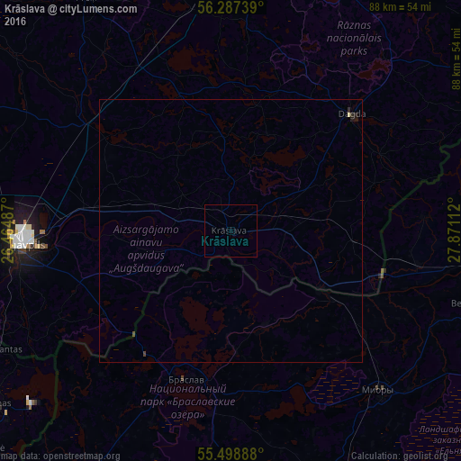
99.81%Clear (daylight) street map image can be seen on geolist.org.
Map coordinates:
56° 17' 14.6" North, 26° 27' 53.5" East
55° 53' 42.5" North, 27° 10' 4.8" East
55° 29' 56" North, 27° 52' 16" East
Some cities around Krāslava sort by population:
• Daugavpils
39.6 km =24.6 mi,  268°
268°
• Braslaw, BY
29.3 km =18.2 mi,  195°
195°
• Myory, BY
41.8 km =26 mi,  136°
136°
• Preiļi
52.2 km =32.4 mi,  328°
328°
• Vyerkhnyadzvinsk, BY
49.9 km =31 mi,  105°
105°
• Dagda
32 km =19.9 mi,  45°
45°
• Vecvārkava
53.1 km =33 mi,  309°
309°
• Aglona
28.3 km =17.6 mi,  339°
339°
458623 (p: 11,088)
Sources (retrieved 2019-11-25):
» Earth at Night: Flat Maps 2012, 2016