Braslaw night lights from space
Night Light of Braslaw (Vitebsk) from space (Belarus) Src. Average luminocity for 10x10km area is 0.1974% and for 50x50km: 0.0246%.
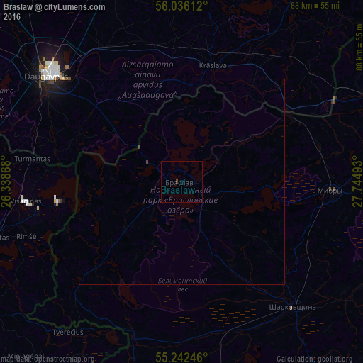
Analysis of Braslaw night lights 2016
Square area 10x10 km:
 0%
0%90-99
0%80-89
0%70-79
0%60-69
0%50-59
0%40-49
0.36%30-39
0.12%20-29
0%10-19
0%0-9
99.52%Square area 50x50 km:
0%90-99
0%80-89
0%70-79
0%60-69
0%50-59
0%40-49
0.05%30-39
0%20-29
0%10-19
0%0-9
99.94%Clear (daylight) street map image can be seen on geolist.org.
Map coordinates:
56° 2' 10" North, 26° 20' 19.2" East
55° 38' 28.7" North, 27° 2' 30.5" East
55° 14' 32.9" North, 27° 44' 41.7" East
Some cities around Braslaw sort by population:
• Daugavpils, LV
41.7 km =25.9 mi,  310°
310°
• Visaginas, LT
38.1 km =23.7 mi,  262°
262°
• Krāslava, LV
29.3 km =18.2 mi,  15°
15°
• Myory
36.9 km =22.9 mi,  93°
93°
• Zarasai, LT
50.6 km =31.4 mi,  281°
281°
• Vyerkhnyadzvinsk
58.2 km =36.2 mi,  74°
74°
• Sharkawshchyna
40.5 km =25.2 mi,  138°
138°
• Aglona, LV
54.7 km =34 mi,  357°
357°
629640 (p: 12,378)
Sources (retrieved 2019-11-25):
» Earth at Night: Flat Maps 2012, 2016