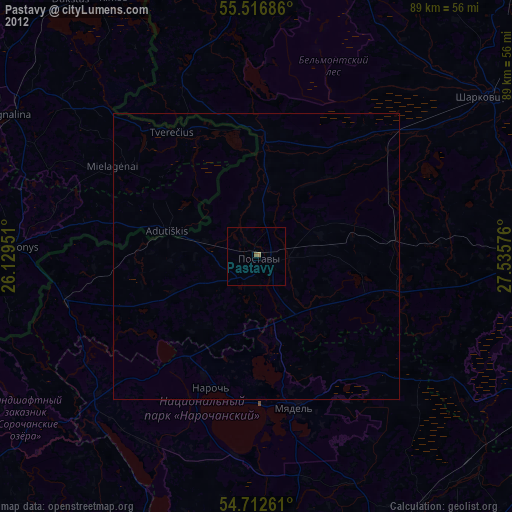
Pastavy night lights from space
Night Light of Pastavy (Vitebsk) from space (Belarus) Src. Average luminocity for 10x10km area is 0% and for 50x50km: 0%.
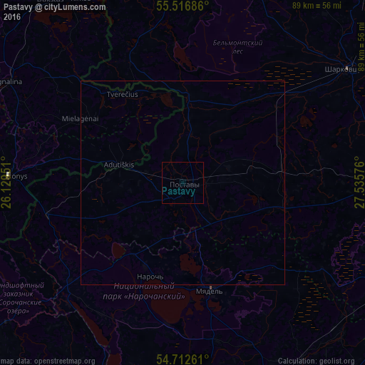
Analysis of Pastavy night lights 2016
Square area 10x10 km:
 0%
0%90-99
0%80-89
0%70-79
0%60-69
0%50-59
0%40-49
0%30-39
0%20-29
0%10-19
0%0-9
100%Square area 50x50 km:
0%90-99
0%80-89
0%70-79
0%60-69
0%50-59
0%40-49
0%30-39
0%20-29
0%10-19
0%0-9
100%Clear (daylight) street map image can be seen on geolist.org.
Map coordinates:
55° 31' 0.7" North, 26° 7' 46.2" East
55° 7' 0.3" North, 26° 49' 57.5" East
54° 42' 45.4" North, 27° 32' 8.7" East
Some cities around Pastavy sort by population:
• Visaginas, LT
58.9 km =36.6 mi,  335°
335°
• Hlybokaye
54.6 km =33.9 mi,  87°
87°
• Myadzyel
27.3 km =17 mi,  165°
165°
• Sharkawshchyna
49.1 km =30.5 mi,  55°
55°
• Vishnyeva
49.4 km =30.7 mi,  203°
203°
• Švenčionėliai, LT
53 km =32.9 mi,  275°
275°
• Ignalina, LT
49.4 km =30.7 mi,  300°
300°
• Švenčionys, LT
42.9 km =26.7 mi,  272°
272°
623760 (p: 20,218)
Sources (retrieved 2019-11-25):
» Earth at Night: Flat Maps 2012, 2016