Vyerkhnyadzvinsk night lights from space
Night Light of Vyerkhnyadzvinsk (Vitebsk) from space (Belarus) Src. Average luminocity for 10x10km area is 0% and for 50x50km: 0.0476%.
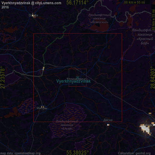
Analysis of Vyerkhnyadzvinsk night lights 2016
Square area 10x10 km:
 0%
0%90-99
0%80-89
0%70-79
0%60-69
0%50-59
0%40-49
0%30-39
0%20-29
0%10-19
0%0-9
100%Square area 50x50 km:
0%90-99
0%80-89
0%70-79
0%60-69
0%50-59
0.02%40-49
0.04%30-39
0.02%20-29
0.03%10-19
0%0-9
99.88%Clear (daylight) street map image can be seen on geolist.org.
Map coordinates:
56° 10' 16.1" North, 27° 14' 8.8" East
55° 46' 39.7" North, 27° 56' 20" East
55° 22' 48.9" North, 28° 38' 31.3" East
Some cities around Vyerkhnyadzvinsk sort by population:
• Navapolatsk
49.6 km =30.8 mi,  123°
123°
• Polatsk
62.1 km =38.6 mi, 121°
• Braslaw
58.2 km =36.2 mi,  254°
254°
• Krāslava, LV
49.9 km =31 mi,  285°
285°
• Myory
26 km =16.2 mi,  228°
228°
• Sharkawshchyna
54.2 km =33.7 mi,  213°
213°
• Rasony
56.4 km =35 mi,  75°
75°
• Dagda, LV
43.3 km =26.9 mi,  324°
324°
620255 (p: 7,700)
Sources (retrieved 2019-11-25):
» Earth at Night: Flat Maps 2012, 2016