Myadzyel night lights from space
Night Light of Myadzyel (Minsk) from space (Belarus) Src. Average luminocity for 10x10km area is 0.2081% and for 50x50km: 0.0086%.
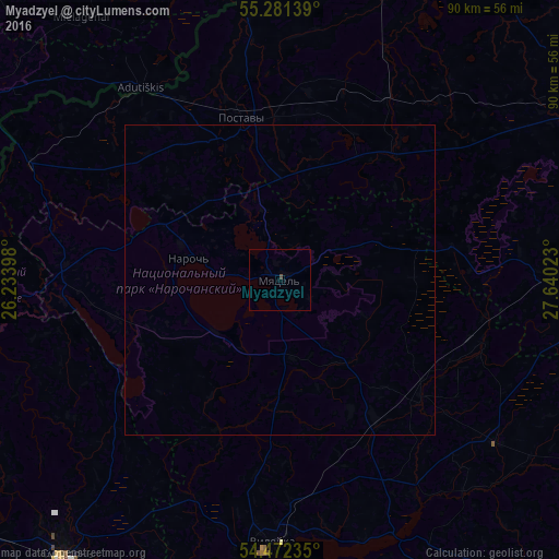
Analysis of Myadzyel night lights 2016
Square area 10x10 km:
 0%
0%90-99
0%80-89
0%70-79
0%60-69
0%50-59
0%40-49
0.48%30-39
0%20-29
0%10-19
0%0-9
99.52%Square area 50x50 km:
0%90-99
0%80-89
0%70-79
0%60-69
0%50-59
0%40-49
0.02%30-39
0%20-29
0%10-19
0%0-9
99.98%Clear (daylight) street map image can be seen on geolist.org.
Map coordinates:
55° 16' 53" North, 26° 14' 2.3" East
54° 52' 44" North, 26° 56' 13.6" East
54° 28' 20.5" North, 27° 38' 24.8" East
Some cities around Myadzyel sort by population:
• Maladzyechna
62.7 km =39 mi,  184°
184°
• Smarhon’
56.4 km =35 mi,  218°
218°
• Vilyeyka
43.1 km =26.8 mi, 182°
• Hlybokaye
56 km =34.8 mi,  59°
59°
• Pastavy
27.3 km =17 mi,  345°
345°
• Dokshytsy
53.1 km =33 mi,  88°
88°
• Vishnyeva
32.5 km =20.2 mi,  234°
234°
• Švenčionys, LT
57.2 km =35.5 mi,  299°
299°
624861 (p: 10,000)
Sources (retrieved 2019-11-25):
» Earth at Night: Flat Maps 2012, 2016