Serowe night lights from space
Night Light of Serowe (Central) from space (Botswana) Src. Average luminocity for 10x10km area is 30.5473% and for 50x50km: 1.6402%.
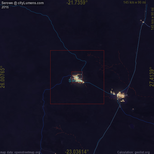
Analysis of Serowe night lights 2016
Square area 10x10 km:
 0%
0%90-99
1.52%80-89
10.42%70-79
6.44%60-69
2.84%50-59
4.36%40-49
9.09%30-39
4.55%20-29
2.27%10-19
24.43%0-9
34.09%Square area 50x50 km:
0%90-99
0.06%80-89
0.44%70-79
0.35%60-69
0.15%50-59
0.18%40-49
0.43%30-39
0.22%20-29
0.18%10-19
1.43%0-9
96.55%Clear (daylight) street map image can be seen on geolist.org.
Map coordinates:
21° 44' 9.2" South, 26° 0' 27.5" East
22° 23' 15.1" South, 26° 42' 38.8" East
23° 2' 10.1" South, 27° 24' 50" East
Some cities around Serowe sort by population:
• Francistown
158.4 km =98.4 mi,  31°
31°
• Selebi-Phikwe
125.1 km =77.7 mi,  68°
68°
• Mahalapye
80.4 km =50 mi,  172°
172°
• Mochudi
232.8 km =144.7 mi,  194°
194°
• Palapye
46.1 km =28.6 mi,  112°
112°
• Letlhakane
158.1 km =98.2 mi,  313°
313°
• Tonota
130.5 km =81.1 mi,  36°
36°
• Orapa
182.4 km =113.3 mi, 310°
933088 (p: 47,419)
Sources (retrieved 2019-11-25):
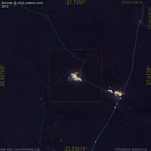
» Earth at Night: Flat Maps 2012, 2016