Mahalapye night lights from space
Night Light of Mahalapye (Central) from space (Botswana) Src. Average luminocity for 10x10km area is 25.1648% and for 50x50km: 1.1789%.
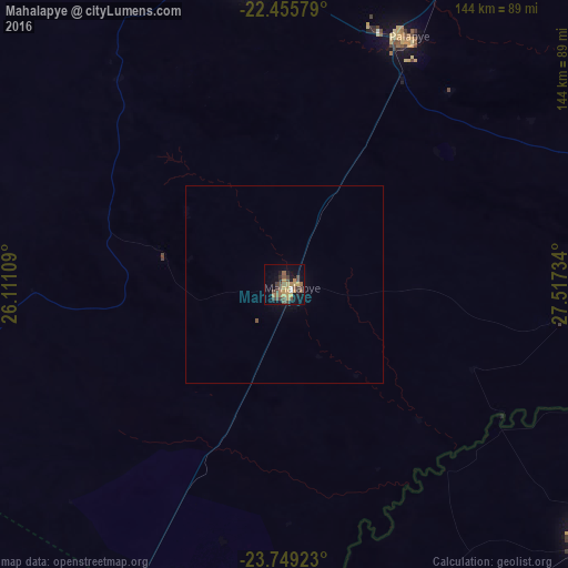
Analysis of Mahalapye night lights 2016
Square area 10x10 km:
 0.38%
0.38%90-99
1.14%80-89
2.08%70-79
6.82%60-69
5.11%50-59
4.55%40-49
9.28%30-39
5.49%20-29
2.65%10-19
12.31%0-9
50.19%Square area 50x50 km:
0.02%90-99
0.05%80-89
0.09%70-79
0.28%60-69
0.21%50-59
0.22%40-49
0.38%30-39
0.23%20-29
0.11%10-19
0.54%0-9
97.87%Clear (daylight) street map image can be seen on geolist.org.
Map coordinates:
22° 27' 20.8" South, 26° 6' 39.9" East
23° 6' 14.7" South, 26° 48' 51.2" East
23° 44' 57.2" South, 27° 31' 2.4" East
Some cities around Mahalapye sort by population:
• Selebi-Phikwe
163.7 km =101.7 mi,  40°
40°
• Serowe
80.4 km =50 mi,  352°
352°
• Mogoditshane
194.9 km =121.1 mi,  209°
209°
• Mochudi
160.8 km =99.9 mi,  204°
204°
• Palapye
69.7 km =43.3 mi,  27°
27°
• Thabazimbi, ZA
176.2 km =109.5 mi,  159°
159°
• Kopong
180.2 km =112 mi, 211°
• Metsemotlhaba
191 km =118.7 mi, 212°
933471 (p: 44,471)
Sources (retrieved 2019-11-25):
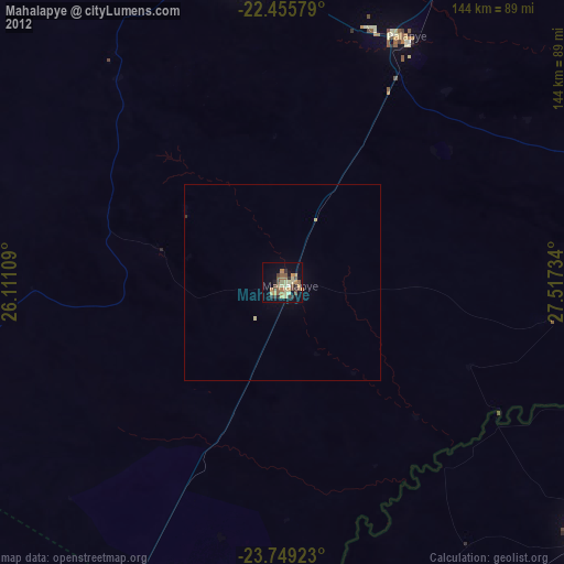
» Earth at Night: Flat Maps 2012, 2016