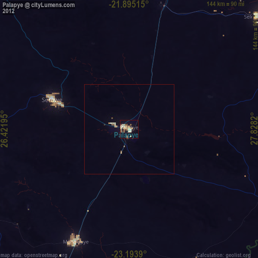
Palapye night lights from space
Night Light of Palapye (Central) from space (Botswana) Src. Average luminocity for 10x10km area is 26.9053% and for 50x50km: 1.5963%.
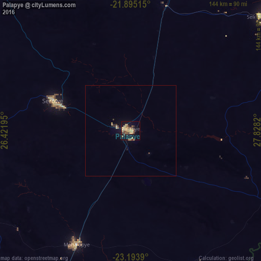
Analysis of Palapye night lights 2016
Square area 10x10 km:
 0%
0%90-99
0%80-89
7.2%70-79
9.85%60-69
2.65%50-59
4.36%40-49
5.49%30-39
3.79%20-29
1.52%10-19
25.57%0-9
39.58%Square area 50x50 km:
0%90-99
0.03%80-89
0.38%70-79
0.47%60-69
0.11%50-59
0.21%40-49
0.34%30-39
0.22%20-29
0.21%10-19
1.4%0-9
96.63%Clear (daylight) street map image can be seen on geolist.org.
Map coordinates:
21° 53' 42.5" South, 26° 25' 19" East
22° 32' 45.8" South, 27° 7' 30.3" East
23° 11' 38" South, 27° 49' 41.5" East
Some cities around Palapye sort by population:
• Francistown
158 km =98.2 mi,  14°
14°
• Selebi-Phikwe
97.1 km =60.3 mi,  49°
49°
• Serowe
46.1 km =28.6 mi,  292°
292°
• Mahalapye
69.7 km =43.3 mi,  207°
207°
• Letlhakane
201.9 km =125.5 mi,  308°
308°
• Tonota
127.5 km =79.2 mi,  15°
15°
• Bochum, ZA
222.1 km =138 mi,  111°
111°
• Orapa
226.7 km =140.9 mi, 307°
933182 (p: 30,650)
Sources (retrieved 2019-11-25):
» Earth at Night: Flat Maps 2012, 2016