Letlhakane night lights from space
Night Light of Letlhakane (Central) from space (Botswana) Src. Average luminocity for 10x10km area is 8.1515% and for 50x50km: 1.8049%.
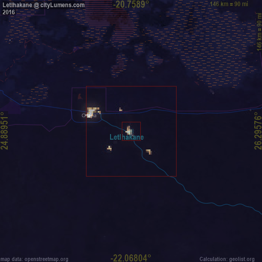
Analysis of Letlhakane night lights 2016
Square area 10x10 km:
 0.57%
0.57%90-99
0.95%80-89
0.76%70-79
2.08%60-69
0.95%50-59
0.38%40-49
3.6%30-39
1.33%20-29
0.76%10-19
0.76%0-9
87.88%Square area 50x50 km:
0.18%90-99
0.22%80-89
0.42%70-79
0.27%60-69
0.18%50-59
0.18%40-49
0.35%30-39
0.19%20-29
0.14%10-19
0.95%0-9
96.92%Clear (daylight) street map image can be seen on geolist.org.
Map coordinates:
20° 45' 32" South, 24° 53' 22.2" East
21° 24' 53.8" South, 25° 35' 33.5" East
22° 4' 4.9" South, 26° 17' 44.7" East
Some cities around Letlhakane sort by population:
• Francistown
200.3 km =124.5 mi,  82°
82°
• Selebi-Phikwe
240.8 km =149.6 mi,  105°
105°
• Serowe
158.1 km =98.2 mi,  133°
133°
• Mahalapye
226 km =140.4 mi,  146°
146°
• Palapye
201.9 km =125.5 mi, 128°
• Tonota
193.5 km =120.2 mi,  90°
90°
• Orapa
25.2 km =15.7 mi,  297°
297°
• Rakops
135 km =83.9 mi,  288°
288°
933535 (p: 18,136)
Sources (retrieved 2019-11-25):
» Earth at Night: Flat Maps 2012, 2016