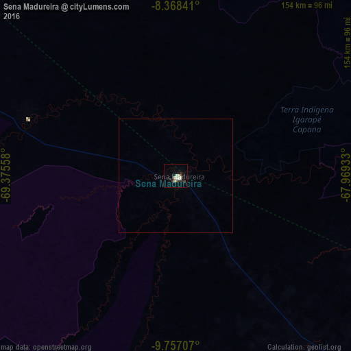
Sena Madureira night lights from space
Night Light of Sena Madureira (Acre) from space (Brazil) Src. Average luminocity for 10x10km area is 15.2035% and for 50x50km: 0.6414%.

Analysis of Sena Madureira night lights 2016
Square area 10x10 km:
 1.73%
1.73%90-99
4.98%80-89
2.16%70-79
0.65%60-69
0.87%50-59
0.87%40-49
0.65%30-39
3.46%20-29
1.95%10-19
2.6%0-9
80.09%Square area 50x50 km:
0.07%90-99
0.2%80-89
0.08%70-79
0.03%60-69
0.03%50-59
0.03%40-49
0.03%30-39
0.14%20-29
0.08%10-19
0.1%0-9
99.22%Clear (daylight) street map image can be seen on geolist.org.
Map coordinates:
8° 22' 6.3" South, 69° 22' 32.1" West
9° 3' 48.3" South, 68° 40' 20.8" West
9° 45' 25.5" South, 67° 58' 9.6" West
Some cities around Sena Madureira sort by population:
• Rio Branco
138.6 km =86.1 mi,  136°
136°
• Cobija, BO
218.6 km =135.8 mi,  182°
182°
• Boca do Acre
144.2 km =89.6 mi,  76°
76°
• Feijó
210.2 km =130.6 mi,  298°
298°
• Plácido de Castro
215.8 km =134.1 mi,  130°
130°
• Senador Guiomard
158.4 km =98.4 mi, 139°
• Brasiléia
217.3 km =135 mi, 182°
• Xapuri
177.6 km =110.4 mi,  174°
174°
3662155 (p: 20,516)
Sources (retrieved 2019-11-25):
» Earth at Night: Flat Maps 2012, 2016