Plácido de Castro night lights from space
Night Light of Plácido de Castro (Acre) from space (Brazil) Src. Average luminocity for 10x10km area is 6.0207% and for 50x50km: 0.2486%.
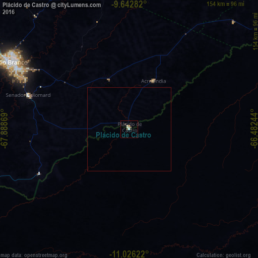
Analysis of Plácido de Castro night lights 2016
Square area 10x10 km:
 0.41%
0.41%90-99
2.07%80-89
0.83%70-79
0%60-69
1.65%50-59
0.41%40-49
0.41%30-39
0.83%20-29
0.83%10-19
0.83%0-9
91.74%Square area 50x50 km:
0.02%90-99
0.08%80-89
0.03%70-79
0%60-69
0.07%50-59
0.02%40-49
0.02%30-39
0.03%20-29
0.03%10-19
0.03%0-9
99.66%Clear (daylight) street map image can be seen on geolist.org.
Map coordinates:
9° 38' 34.2" South, 67° 53' 19.3" West
10° 20' 7" South, 67° 11' 8" West
11° 1' 34.4" South, 66° 28' 56.8" West
Some cities around Plácido de Castro sort by population:
• Rio Branco
79.2 km =49.2 mi,  300°
300°
• Riberalta, BO
143.6 km =89.2 mi,  121°
121°
• Cobija, BO
189.3 km =117.6 mi,  246°
246°
• Boca do Acre
177.6 km =110.4 mi,  352°
352°
• Senador Guiomard
63.8 km =39.6 mi,  288°
288°
• Brasiléia
186.8 km =116.1 mi, 246°
• Extrema
110.4 km =68.6 mi,  55°
55°
• Xapuri
148.4 km =92.2 mi,  256°
256°
3924895 (p: 11,945)
Sources (retrieved 2019-11-25):
» Earth at Night: Flat Maps 2012, 2016