Senador Guiomard night lights from space
Night Light of Senador Guiomard (Acre) from space (Brazil) Src. Average luminocity for 10x10km area is 12.3492% and for 50x50km: 9.0619%.
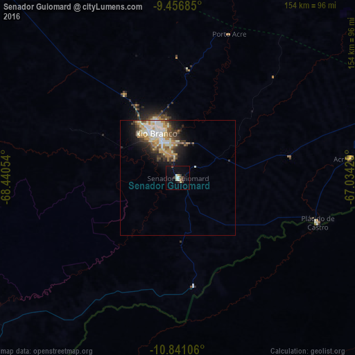
Analysis of Senador Guiomard night lights 2016
Square area 10x10 km:
 1.24%
1.24%90-99
2.69%80-89
0.21%70-79
1.65%60-69
0.83%50-59
0.83%40-49
2.27%30-39
3.51%20-29
0%10-19
5.58%0-9
81.2%Square area 50x50 km:
1.48%90-99
2.05%80-89
1.15%70-79
1.52%60-69
0.91%50-59
0.9%40-49
1.25%30-39
1.54%20-29
1.61%10-19
3.86%0-9
83.74%Clear (daylight) street map image can be seen on geolist.org.
Map coordinates:
9° 27' 24.7" South, 68° 26' 25.9" West
10° 8' 58.9" South, 67° 44' 14.7" West
10° 50' 27.8" South, 67° 2' 3.4" West
Some cities around Senador Guiomard sort by population:
• Rio Branco
21 km =13 mi,  337°
337°
• Cobija, BO
149.1 km =92.6 mi,  229°
229°
• Sena Madureira
158.4 km =98.4 mi,  319°
319°
• Boca do Acre
159.8 km =99.3 mi,  13°
13°
• Plácido de Castro
63.8 km =39.6 mi,  108°
108°
• Brasiléia
146.6 km =91.1 mi, 228°
• Extrema
157 km =97.6 mi,  74°
74°
• Xapuri
100.8 km =62.6 mi,  236°
236°
3924752 (p: 11,727)
Sources (retrieved 2019-11-25):
» Earth at Night: Flat Maps 2012, 2016