Valença do Piauí night lights from space
Night Light of Valença do Piauí (Piauí) from space (Brazil) Src. Average luminocity for 10x10km area is 18.3788% and for 50x50km: 1.1589%.
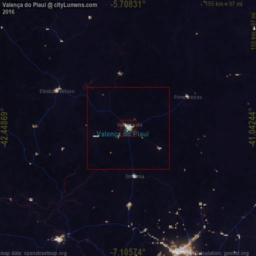
Analysis of Valença do Piauí night lights 2016
Square area 10x10 km:
 3.46%
3.46%90-99
2.6%80-89
1.3%70-79
2.16%60-69
2.16%50-59
3.9%40-49
1.73%30-39
1.95%20-29
1.95%10-19
3.03%0-9
75.76%Square area 50x50 km:
0.17%90-99
0.17%80-89
0.09%70-79
0.16%60-69
0.09%50-59
0.28%40-49
0.16%30-39
0.18%20-29
0.1%10-19
0.15%0-9
98.47%Clear (daylight) street map image can be seen on geolist.org.
Map coordinates:
5° 42' 29.9" South, 42° 26' 55.3" West
6° 24' 27" South, 41° 44' 44" West
7° 6' 20.7" South, 41° 2' 32.8" West
Some cities around Valença do Piauí sort by population:
• Picos
80.5 km =50 mi,  157°
157°
• Oeiras
80.8 km =50.2 mi,  211°
211°
• Parambu
118.2 km =73.4 mi,  79°
79°
• Água Branca
113.9 km =70.8 mi,  300°
300°
• Regeneração
105.9 km =65.8 mi,  280°
280°
• Elesbão Veloso
49.2 km =30.6 mi, 297°
• São Miguel do Tapuio
110.8 km =68.8 mi,  24°
24°
• Inhuma
29.3 km =18.2 mi,  171°
171°
3385592 (p: 15,881)
Sources (retrieved 2019-11-25):
» Earth at Night: Flat Maps 2012, 2016