Picos night lights from space
Night Light of Picos (Piauí) from space (Brazil) Src. Average luminocity for 10x10km area is 60.3831% and for 50x50km: 7.187%.
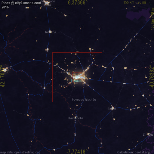
Analysis of Picos night lights 2016
Square area 10x10 km:
 12.55%
90-99
14.72%80-89
4.55%70-79
5.84%60-69
7.14%50-59
13.85%40-49
9.96%30-39
12.99%20-29
16.88%10-19
1.52%0-9
0%Square area 50x50 km:
0.59%90-99
0.75%80-89
0.59%70-79
0.86%60-69
0.97%50-59
1.9%40-49
1.45%30-39
1.37%20-29
2.21%10-19
5.06%0-9
84.26%Clear (daylight) street map image can be seen on geolist.org.
Map coordinates:
6° 22' 43.2" South, 42° 10' 12.3" West
7° 4' 37" South, 41° 28' 1" West
7° 46' 27" South, 40° 45' 49.8" West
Some cities around Picos sort by population:
• Araripina
120.4 km =74.8 mi,  117°
117°
• Oeiras
73.5 km =45.7 mi,  274°
274°
• Campos Sales
120.4 km =74.8 mi,  89°
89°
• Ipueiras
112.3 km =69.8 mi, 87°
• Valença do Piauí
80.5 km =50 mi,  337°
337°
• Jaicós
48 km =29.8 mi,  130°
130°
• Simplício Mendes
99.3 km =61.7 mi,  209°
209°
• Inhuma
52.6 km =32.7 mi,  329°
329°
3392167 (p: 57,495)
Sources (retrieved 2019-11-25):
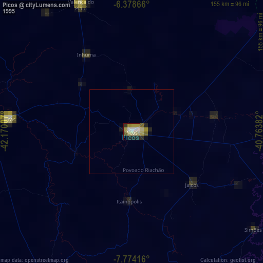
» NASA, Earths city lights 1995
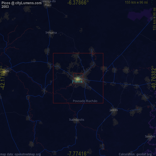
» NASA city lights 2003
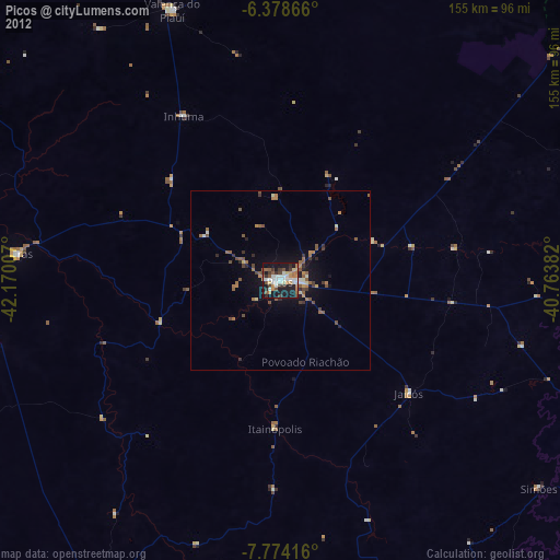
» Earth at Night: Flat Maps 2012, 2016