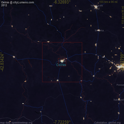
Oeiras night lights from space
Night Light of Oeiras (Piauí) from space (Brazil) Src. Average luminocity for 10x10km area is 17.842% and for 50x50km: 1.0336%.
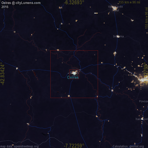
Analysis of Oeiras night lights 2016
Square area 10x10 km:
 3.46%
3.46%90-99
3.46%80-89
0.87%70-79
0.22%60-69
2.6%50-59
5.63%40-49
1.08%30-39
1.73%20-29
1.08%10-19
2.6%0-9
77.27%Square area 50x50 km:
0.14%90-99
0.16%80-89
0.06%70-79
0.1%60-69
0.18%50-59
0.22%40-49
0.04%30-39
0.14%20-29
0.22%10-19
0.17%0-9
98.57%Clear (daylight) street map image can be seen on geolist.org.
Map coordinates:
6° 19' 36.9" South, 42° 50' 3.3" West
7° 1' 31" South, 42° 7' 52" West
7° 43' 21.3" South, 41° 25' 40.8" West
Some cities around Oeiras sort by population:
• Picos
73.5 km =45.7 mi,  94°
94°
• Floriano
102.5 km =63.7 mi,  286°
286°
• Valença do Piauí
80.8 km =50.2 mi,  31°
31°
• Regeneração
107.5 km =66.8 mi,  325°
325°
• Elesbão Veloso
91.6 km =56.9 mi,  359°
359°
• Jaicós
115.7 km =71.9 mi,  108°
108°
• Simplício Mendes
95.3 km =59.2 mi,  165°
165°
• Inhuma
61.3 km =38.1 mi,  49°
49°
3393764 (p: 21,071)
Sources (retrieved 2019-11-25):
» Earth at Night: Flat Maps 2012, 2016