São Miguel do Tapuio night lights from space
Night Light of São Miguel do Tapuio (Piauí) from space (Brazil) Src. Average luminocity for 10x10km area is 6.5496% and for 50x50km: 0.3539%.
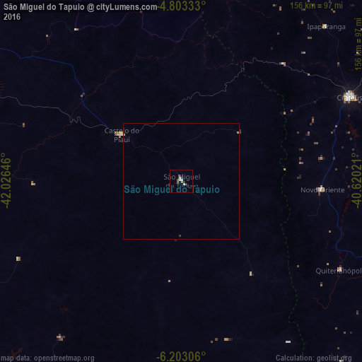
Analysis of São Miguel do Tapuio night lights 2016
Square area 10x10 km:
 1.03%
1.03%90-99
1.45%80-89
0.62%70-79
0.21%60-69
0.21%50-59
2.27%40-49
0.62%30-39
1.03%20-29
1.65%10-19
0%0-9
90.91%Square area 50x50 km:
0.04%90-99
0.06%80-89
0.03%70-79
0.05%60-69
0.03%50-59
0.09%40-49
0.03%30-39
0.08%20-29
0.07%10-19
0%0-9
99.52%Clear (daylight) street map image can be seen on geolist.org.
Map coordinates:
4° 48' 12" South, 42° 1' 35.3" West
5° 30' 13" South, 41° 19' 24" West
6° 12' 11" South, 40° 37' 12.8" West
Some cities around São Miguel do Tapuio sort by population:
• Crateús
80.1 km =49.8 mi,  63°
63°
• Várzea Alegre
105.4 km =65.5 mi,  80°
80°
• Valença do Piauí
110.8 km =68.8 mi,  204°
204°
• Parambu
105 km =65.2 mi,  138°
138°
• Novo Oriente
60.9 km =37.8 mi,  93°
93°
• Independência
112.9 km =70.2 mi, 83°
• Castelo do Piauí
32.4 km =20.1 mi,  308°
308°
• Beneditinos
115.6 km =71.8 mi,  272°
272°
3388266 (p: 7,964)
Sources (retrieved 2019-11-25):
» Earth at Night: Flat Maps 2012, 2016