Elesbão Veloso night lights from space
Night Light of Elesbão Veloso (Piauí) from space (Brazil) Src. Average luminocity for 10x10km area is 7.5145% and for 50x50km: 0.4474%.
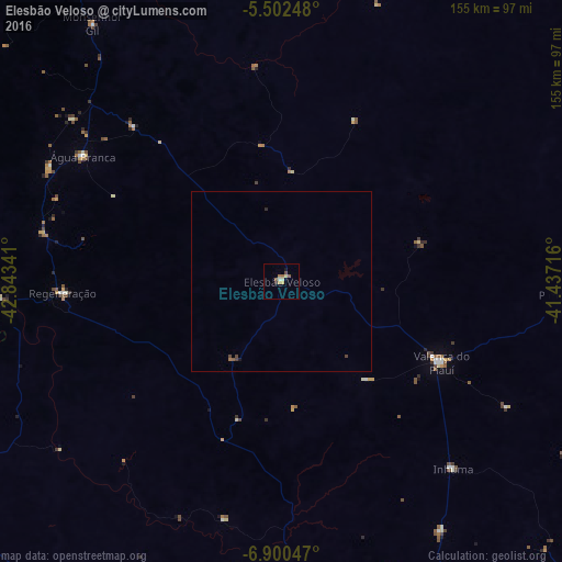
Analysis of Elesbão Veloso night lights 2016
Square area 10x10 km:
 0%
0%90-99
2.07%80-89
0.83%70-79
1.24%60-69
1.45%50-59
1.86%40-49
0.83%30-39
0%20-29
0.83%10-19
1.65%0-9
89.26%Square area 50x50 km:
0%90-99
0.09%80-89
0.03%70-79
0.05%60-69
0.09%50-59
0.11%40-49
0.15%30-39
0.03%20-29
0.08%10-19
0.09%0-9
99.28%Clear (daylight) street map image can be seen on geolist.org.
Map coordinates:
5° 30' 8.9" South, 42° 50' 36.3" West
6° 12' 7" South, 42° 8' 25" West
6° 54' 1.7" South, 41° 26' 13.8" West
Some cities around Elesbão Veloso sort by population:
• Oeiras
91.6 km =56.9 mi,  179°
179°
• Valença do Piauí
49.2 km =30.6 mi,  117°
117°
• Água Branca
64.7 km =40.2 mi,  302°
302°
• Regeneração
60.5 km =37.6 mi,  266°
266°
• Amarante
78.1 km =48.5 mi, 266°
• São Pedro do Piauí
70.8 km =44 mi, 295°
• Inhuma
70.5 km =43.8 mi,  137°
137°
• Beneditinos
87.3 km =54.2 mi,  343°
343°
3400920 (p: 10,430)
Sources (retrieved 2019-11-25):
» Earth at Night: Flat Maps 2012, 2016