Parambu night lights from space
Night Light of Parambu (Ceará) from space (Brazil) Src. Average luminocity for 10x10km area is 9.124% and for 50x50km: 0.6584%.
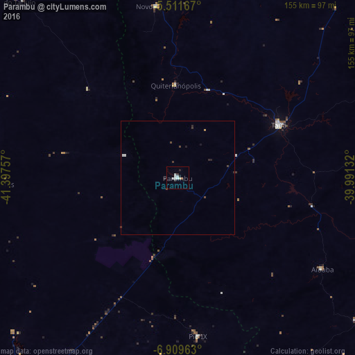
Analysis of Parambu night lights 2016
Square area 10x10 km:
 1.86%
1.86%90-99
3.93%80-89
0%70-79
0%60-69
0.83%50-59
0%40-49
0.41%30-39
1.24%20-29
2.07%10-19
0%0-9
89.67%Square area 50x50 km:
0.1%90-99
0.21%80-89
0%70-79
0.03%60-69
0.03%50-59
0.02%40-49
0.16%30-39
0.13%20-29
0.25%10-19
0.06%0-9
99.01%Clear (daylight) street map image can be seen on geolist.org.
Map coordinates:
5° 30' 42" South, 41° 23' 51.3" West
6° 12' 40" South, 40° 41' 40" West
6° 54' 34.7" South, 39° 59' 28.8" West
Some cities around Parambu sort by population:
• Crateús
114.8 km =71.3 mi,  0°
0°
• São João dos Inhamuns
51.2 km =31.8 mi,  62°
62°
• Várzea Alegre
101.7 km =63.2 mi,  19°
19°
• Campos Sales
102.2 km =63.5 mi,  159°
159°
• Ipueiras
95.3 km =59.2 mi, 163°
• Novo Oriente
75.8 km =47.1 mi,  353°
353°
• Independência
100.1 km =62.2 mi,  25°
25°
• São Miguel do Tapuio
105 km =65.2 mi,  318°
318°
3393065 (p: 14,656)
Sources (retrieved 2019-11-25):
» Earth at Night: Flat Maps 2012, 2016