Unaí night lights from space
Night Light of Unaí (Minas Gerais) from space (Brazil) Src. Average luminocity for 10x10km area is 28.1322% and for 50x50km: 1.4969%.
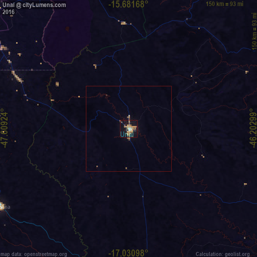
Analysis of Unaí night lights 2016
Square area 10x10 km:
 0.83%
0.83%90-99
2.07%80-89
2.27%70-79
14.88%60-69
3.1%50-59
1.86%40-49
3.93%30-39
2.48%20-29
2.48%10-19
29.34%0-9
36.78%Square area 50x50 km:
0.03%90-99
0.08%80-89
0.12%70-79
0.64%60-69
0.16%50-59
0.21%40-49
0.24%30-39
0.1%20-29
0.13%10-19
1.22%0-9
97.07%Clear (daylight) street map image can be seen on geolist.org.
Map coordinates:
15° 40' 54" South, 47° 36' 33.3" West
16° 21' 27" South, 46° 54' 22" West
17° 1' 51.5" South, 46° 12' 10.8" West
Some cities around Unaí sort by population:
• Planaltina
114.3 km =71 mi,  316°
316°
• Luziânia
112 km =69.6 mi,  275°
275°
• Planaltina
125.9 km =78.2 mi, 323°
• Formosa
102.1 km =63.4 mi,  333°
333°
• Paracatu
96.2 km =59.8 mi,  178°
178°
• Cristalina
88.3 km =54.9 mi,  238°
238°
• Buritis
97.1 km =60.3 mi,  32°
32°
• Arinos
98.5 km =61.2 mi,  60°
60°
3445764 (p: 60,202)
Sources (retrieved 2019-11-25):
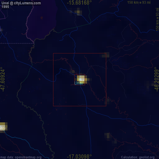
» NASA, Earths city lights 1995
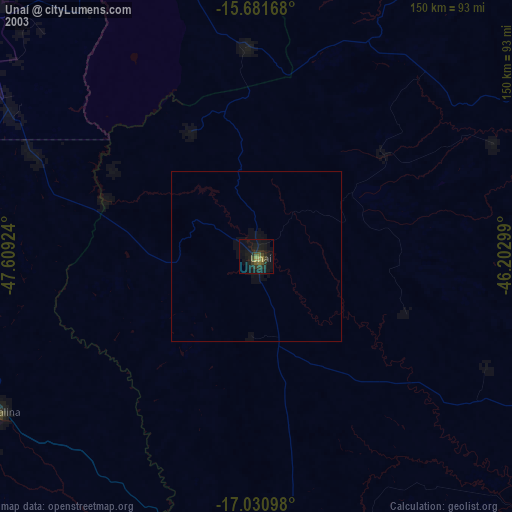
» NASA city lights 2003
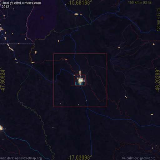
» Earth at Night: Flat Maps 2012, 2016