Buritis night lights from space
Night Light of Buritis (Minas Gerais) from space (Brazil) Src. Average luminocity for 10x10km area is 7.5% and for 50x50km: 0.3243%.
Analysis of Buritis night lights 2016
Square area 10x10 km:
 0%
0%90-99
0.87%80-89
1.08%70-79
4.11%60-69
0.43%50-59
0.43%40-49
1.52%30-39
1.08%20-29
0%10-19
0%0-9
90.48%Square area 50x50 km:
0%90-99
0.03%80-89
0.04%70-79
0.16%60-69
0.02%50-59
0.02%40-49
0.09%30-39
0.04%20-29
0.03%10-19
0%0-9
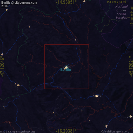
99.57%Clear (daylight) street map image can be seen on geolist.org.
Map coordinates:
14° 56' 22.2" South, 47° 7' 35.3" West
15° 37' 4" South, 46° 25' 24" West
16° 17' 37.7" South, 45° 43' 12.8" West
Some cities around Buritis sort by population:
• Brasília
162.2 km =100.8 mi,  263°
263°
• Planaltina
131.2 km =81.5 mi,  269°
269°
• Planaltina
128.9 km =80.1 mi,  278°
278°
• Formosa
98 km =60.9 mi, 275°
• Unaí
97.1 km =60.3 mi,  212°
212°
• Posse
169.6 km =105.4 mi,  1°
1°
• Arinos
47.6 km =29.6 mi,  134°
134°
• Iaciara
170.7 km =106.1 mi,  352°
352°
3468732 (p: 16,243)
Sources (retrieved 2019-11-25):
» Earth at Night: Flat Maps 2012, 2016