Cristalina night lights from space
Night Light of Cristalina (Goiás) from space (Brazil) Src. Average luminocity for 10x10km area is 26.5671% and for 50x50km: 1.3178%.

Analysis of Cristalina night lights 2016
Square area 10x10 km:
 3.25%
3.25%90-99
1.95%80-89
2.6%70-79
12.12%60-69
2.16%50-59
1.3%40-49
3.46%30-39
1.73%20-29
1.95%10-19
19.91%0-9
49.57%Square area 50x50 km:
0.13%90-99
0.08%80-89
0.1%70-79
0.48%60-69
0.13%50-59
0.13%40-49
0.19%30-39
0.13%20-29
0.15%10-19
0.8%0-9
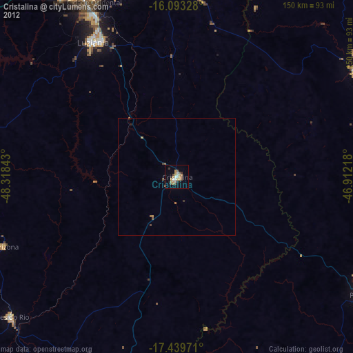
97.67%Clear (daylight) street map image can be seen on geolist.org.
Map coordinates:
16° 5' 35.8" South, 48° 19' 6.3" West
16° 46' 3.7" South, 47° 36' 55.1" West
17° 26' 23" South, 46° 54' 43.8" West
Some cities around Cristalina sort by population:
• Brasília
114.9 km =71.4 mi,  343°
343°
• Luziânia
67.5 km =41.9 mi,  328°
328°
• Paracatu
93.6 km =58.2 mi,  122°
122°
• Unaí
88.3 km =54.9 mi,  58°
58°
• Pires do Rio
92.1 km =57.2 mi,  230°
230°
• Silvânia
106.4 km =66.1 mi,  276°
276°
• Vianópolis
96 km =59.7 mi,  271°
271°
• Orizona
78.1 km =48.5 mi,  247°
247°
3465164 (p: 36,531)
Sources (retrieved 2019-11-25):
» Earth at Night: Flat Maps 2012, 2016