Arinos night lights from space
Night Light of Arinos (Minas Gerais) from space (Brazil) Src. Average luminocity for 10x10km area is 5.645% and for 50x50km: 0.2712%.
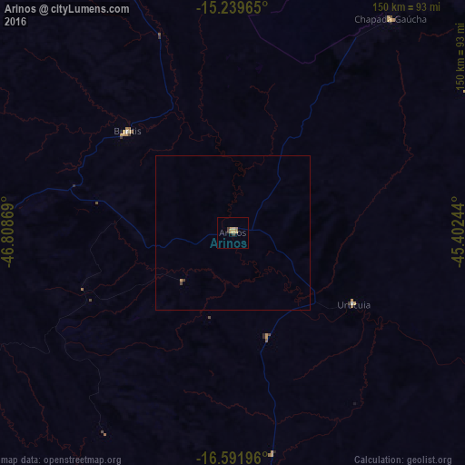
Analysis of Arinos night lights 2016
Square area 10x10 km:
 0%
0%90-99
0%80-89
0.22%70-79
4.11%60-69
0.87%50-59
0%40-49
1.95%30-39
0.65%20-29
0%10-19
0%0-9
92.21%Square area 50x50 km:
0%90-99
0%80-89
0.01%70-79
0.19%60-69
0.03%50-59
0%40-49
0.13%30-39
0.03%20-29
0%10-19
0%0-9
99.61%Clear (daylight) street map image can be seen on geolist.org.
Map coordinates:
15° 14' 22.7" South, 46° 48' 31.3" West
15° 55' 1" South, 46° 6' 20" West
16° 35' 31.1" South, 45° 24' 8.8" West
Some cities around Arinos sort by population:
• Planaltina
168.4 km =104.6 mi,  281°
281°
• Planaltina
169.5 km =105.3 mi,  287°
287°
• Formosa
138.1 km =85.8 mi, 287°
• Paracatu
166.7 km =103.6 mi,  209°
209°
• Unaí
98.5 km =61.2 mi,  240°
240°
• São Francisco
132.7 km =82.5 mi,  91°
91°
• Buritis
47.6 km =29.6 mi,  314°
314°
• Brasília de Minas
181.6 km =112.8 mi,  100°
100°
3471522 (p: 10,077)
Sources (retrieved 2019-11-25):
» Earth at Night: Flat Maps 2012, 2016