Trindade night lights from space
Night Light of Trindade (Goiás) from space (Brazil) Src. Average luminocity for 10x10km area is 51.5974% and for 50x50km: 26.1668%.
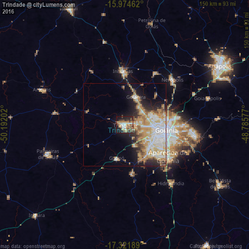
Analysis of Trindade night lights 2016
Square area 10x10 km:
 8.01%
8.01%90-99
8.23%80-89
3.68%70-79
14.29%60-69
6.06%50-59
5.84%40-49
14.5%30-39
5.84%20-29
12.99%10-19
19.48%0-9
1.08%Square area 50x50 km:
5.16%90-99
5.25%80-89
3.78%70-79
6.44%60-69
2.87%50-59
2.07%40-49
3%30-39
2.06%20-29
4.17%10-19
8.19%0-9
57.02%Clear (daylight) street map image can be seen on geolist.org.
Map coordinates:
15° 58' 28.6" South, 50° 11' 31.3" West
16° 38' 58" South, 49° 29' 20" West
17° 19' 18.8" South, 48° 47' 8.8" West
Some cities around Trindade sort by population:
• Goiânia
25.2 km =15.7 mi,  97°
97°
• Aparecida de Goiânia
32.5 km =20.2 mi,  126°
126°
• Senador Canedo
42.7 km =26.5 mi, 98°
• Inhumas
32.4 km =20.1 mi,  358°
358°
• Goianira
18.3 km =11.4 mi,  21°
21°
• Nerópolis
39.5 km =24.5 mi,  46°
46°
• Guapó
20.7 km =12.9 mi,  192°
192°
• Hidrolândia
44.5 km =27.7 mi,  141°
141°
3446038 (p: 97,521)
Sources (retrieved 2019-11-25):
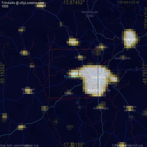
» NASA, Earths city lights 1995
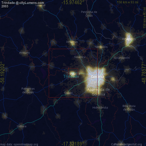
» NASA city lights 2003
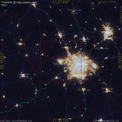
» Earth at Night: Flat Maps 2012, 2016