Senador Canedo night lights from space
Night Light of Senador Canedo (Goiás) from space (Brazil) Src. Average luminocity for 10x10km area is 56.2078% and for 50x50km: 25.8829%.
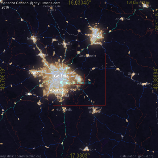
Analysis of Senador Canedo night lights 2016
Square area 10x10 km:
 10.39%
90-99
9.31%80-89
2.38%70-79
14.29%60-69
7.36%50-59
13.85%40-49
12.12%30-39
6.28%20-29
8.01%10-19
14.94%0-9
1.08%Square area 50x50 km:
6.58%90-99
5.5%80-89
2.7%70-79
5.33%60-69
2.71%50-59
3%40-49
2.76%30-39
1.74%20-29
3.65%10-19
6.48%0-9
59.54%Clear (daylight) street map image can be seen on geolist.org.
Map coordinates:
16° 2' 0.4" South, 49° 47' 46.3" West
16° 42' 29" South, 49° 5' 35" West
17° 22' 49.1" South, 48° 23' 23.8" West
Some cities around Senador Canedo sort by population:
• Goiânia
17.4 km =10.8 mi,  280°
280°
• Aparecida de Goiânia
20.5 km =12.7 mi,  231°
231°
• Trindade
42.7 km =26.5 mi, 278°
• Goianira
42.6 km =26.5 mi,  303°
303°
• Nerópolis
36.1 km =22.4 mi,  338°
338°
• Bela Vista de Goiás
33 km =20.5 mi,  153°
153°
• Goianápolis
23.2 km =14.4 mi,  18°
18°
• Hidrolândia
31.7 km =19.7 mi,  206°
206°
3447854 (p: 61,800)
Sources (retrieved 2019-11-25):
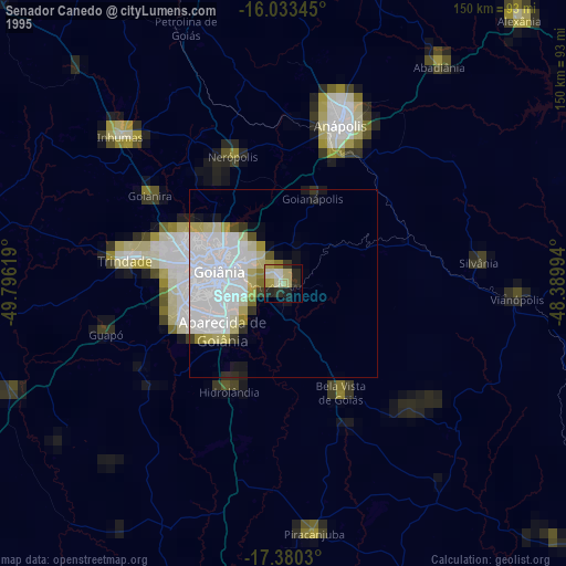
» NASA, Earths city lights 1995
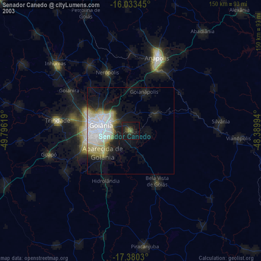
» NASA city lights 2003
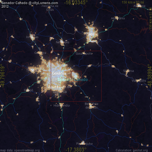
» Earth at Night: Flat Maps 2012, 2016