Goianira night lights from space
Night Light of Goianira (Goiás) from space (Brazil) Src. Average luminocity for 10x10km area is 33.7045% and for 50x50km: 23.5713%.
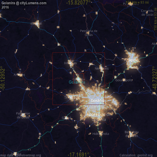
Analysis of Goianira night lights 2016
Square area 10x10 km:
 2.07%
2.07%90-99
5.37%80-89
3.51%70-79
8.68%60-69
4.75%50-59
1.45%40-49
8.26%30-39
2.69%20-29
8.06%10-19
42.36%0-9
12.81%Square area 50x50 km:
5.04%90-99
4.39%80-89
2.85%70-79
5.92%60-69
2.41%50-59
1.84%40-49
2.71%30-39
1.58%20-29
3.54%10-19
9.18%0-9
60.54%Clear (daylight) street map image can be seen on geolist.org.
Map coordinates:
15° 49' 14.8" South, 50° 7' 46.3" West
16° 29' 46" South, 49° 25' 35" West
17° 10' 8.8" South, 48° 43' 23.8" West
Some cities around Goianira sort by population:
• Aparecida de Goiânia
41.3 km =25.7 mi,  151°
151°
• Anápolis
53.9 km =33.5 mi,  69°
69°
• Trindade
18.3 km =11.4 mi,  201°
201°
• Senador Canedo
42.6 km =26.5 mi,  123°
123°
• Inhumas
17.1 km =10.6 mi,  334°
334°
• Nerópolis
24.3 km =15.1 mi, 65°
• Guapó
38.8 km =24.1 mi, 196°
• Petrolina de Goiás
45.6 km =28.3 mi,  11°
11°
3462376 (p: 22,822)
Sources (retrieved 2019-11-25):
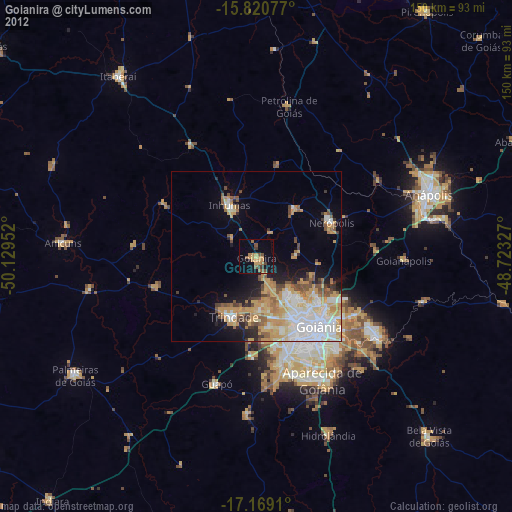
» Earth at Night: Flat Maps 2012, 2016