Nerópolis night lights from space
Night Light of Nerópolis (Goiás) from space (Brazil) Src. Average luminocity for 10x10km area is 24.4112% and for 50x50km: 13.14%.
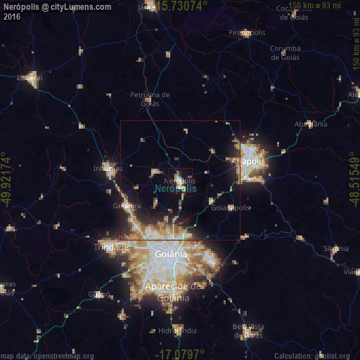
Analysis of Nerópolis night lights 2016
Square area 10x10 km:
 2.89%
2.89%90-99
3.72%80-89
0.83%70-79
6.61%60-69
3.31%50-59
1.86%40-49
5.37%30-39
0.62%20-29
2.48%10-19
24.79%0-9
47.52%Square area 50x50 km:
0.97%90-99
1.81%80-89
1.09%70-79
4%60-69
1.88%50-59
1.36%40-49
2.21%30-39
1.55%20-29
3.57%10-19
7.54%0-9
74.02%Clear (daylight) street map image can be seen on geolist.org.
Map coordinates:
15° 43' 50.7" South, 49° 55' 18.3" West
16° 24' 23" South, 49° 13' 7" West
17° 4' 46.9" South, 48° 30' 55.8" West
Some cities around Nerópolis sort by population:
• Goiânia
30.5 km =19 mi,  187°
187°
• Anápolis
29.7 km =18.5 mi,  72°
72°
• Trindade
39.5 km =24.5 mi,  226°
226°
• Senador Canedo
36.1 km =22.4 mi,  158°
158°
• Inhumas
30.1 km =18.7 mi,  280°
280°
• Goianira
24.3 km =15.1 mi,  245°
245°
• Goianápolis
23.8 km =14.8 mi,  119°
119°
• Petrolina de Goiás
36.9 km =22.9 mi,  339°
339°
3456322 (p: 21,870)
Sources (retrieved 2019-11-25):
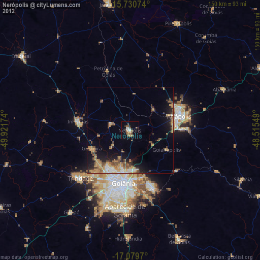
» Earth at Night: Flat Maps 2012, 2016