Aparecida de Goiânia night lights from space
Night Light of Aparecida de Goiânia (Goiás) from space (Brazil) Src. Average luminocity for 10x10km area is 71.5238% and for 50x50km: 34.613%.
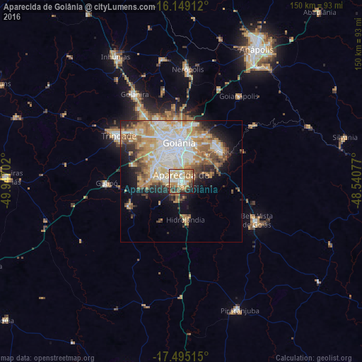
Analysis of Aparecida de Goiânia night lights 2016
Square area 10x10 km:
 10.39%
90-99
17.75%80-89
12.12%70-79
24.24%60-69
8.87%50-59
5.63%40-49
7.36%30-39
5.63%20-29
5.41%10-19
2.6%0-9
0%Square area 50x50 km:
7.7%90-99
7.23%80-89
4.43%70-79
8.2%60-69
3.98%50-59
3.81%40-49
3.93%30-39
2.3%20-29
4.36%10-19
7.12%0-9
46.93%Clear (daylight) street map image can be seen on geolist.org.
Map coordinates:
16° 8' 56.8" South, 49° 56' 49.3" West
16° 49' 24" South, 49° 14' 38" West
17° 29' 42.5" South, 48° 32' 26.8" West
Some cities around Aparecida de Goiânia sort by population:
• Goiânia
16.1 km =10 mi,  356°
356°
• Trindade
32.5 km =20.2 mi,  306°
306°
• Senador Canedo
20.5 km =12.7 mi,  51°
51°
• Goianira
41.3 km =25.7 mi,  331°
331°
• Bela Vista de Goiás
35.1 km =21.8 mi,  118°
118°
• Goianápolis
41.9 km =26 mi,  33°
33°
• Guapó
30.7 km =19.1 mi,  268°
268°
• Hidrolândia
15.5 km =9.6 mi,  173°
173°
6316406 (p: 510,770)
Sources (retrieved 2019-11-25):
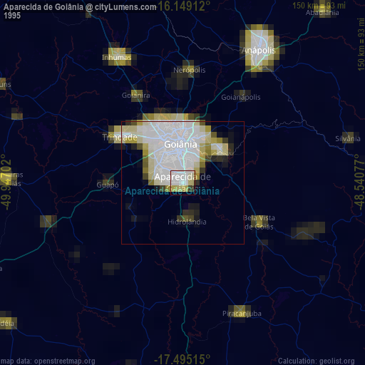
» NASA, Earths city lights 1995
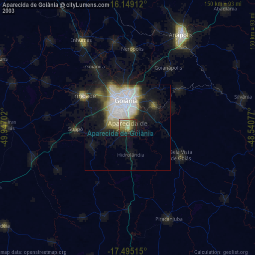
» NASA city lights 2003
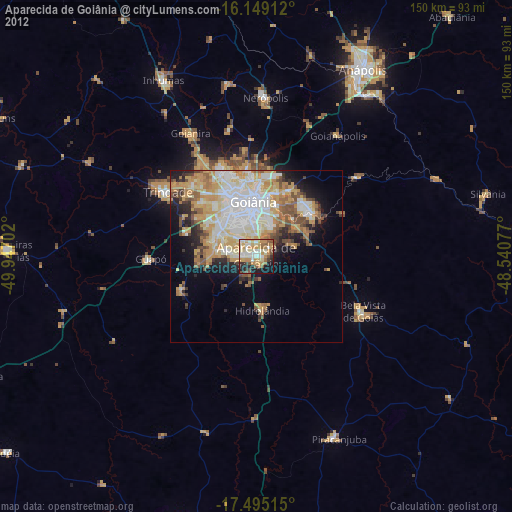
» Earth at Night: Flat Maps 2012, 2016