Inhumas night lights from space
Night Light of Inhumas (Goiás) from space (Brazil) Src. Average luminocity for 10x10km area is 28.5744% and for 50x50km: 6.2338%.
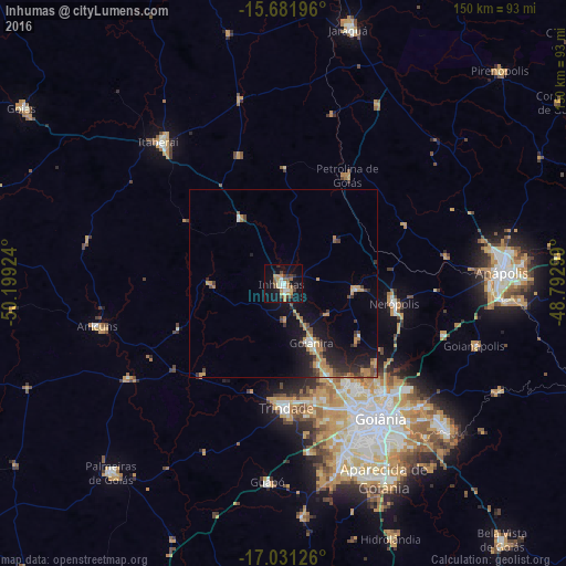
Analysis of Inhumas night lights 2016
Square area 10x10 km:
 3.31%
3.31%90-99
3.31%80-89
2.48%70-79
7.85%60-69
3.1%50-59
3.93%40-49
6.2%30-39
1.03%20-29
5.17%10-19
28.31%0-9
35.33%Square area 50x50 km:
0.26%90-99
0.6%80-89
0.45%70-79
1.71%60-69
0.94%50-59
0.6%40-49
1.41%30-39
0.79%20-29
1.73%10-19
5.47%0-9
86.04%Clear (daylight) street map image can be seen on geolist.org.
Map coordinates:
15° 40' 55.1" South, 50° 11' 57.3" West
16° 21' 28" South, 49° 29' 46" West
17° 1' 52.5" South, 48° 47' 34.8" West
Some cities around Inhumas sort by population:
• Goiânia
44 km =27.3 mi,  144°
144°
• Trindade
32.4 km =20.1 mi,  178°
178°
• Goianira
17.1 km =10.6 mi,  154°
154°
• Itaberaí
50.3 km =31.3 mi,  318°
318°
• Nerópolis
30.1 km =18.7 mi,  100°
100°
• Anicuns
51 km =31.7 mi,  256°
256°
• Guapó
52.7 km =32.7 mi, 184°
• Petrolina de Goiás
33.7 km =20.9 mi,  30°
30°
3461194 (p: 44,058)
Sources (retrieved 2019-11-25):
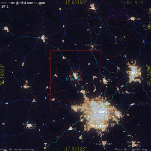
» Earth at Night: Flat Maps 2012, 2016