Extrema night lights from space
Night Light of Extrema (Rondônia) from space (Brazil) Src. Average luminocity for 10x10km area is 4.9545% and for 50x50km: 0.1909%.
Analysis of Extrema night lights 2016
Square area 10x10 km:
 0%
0%90-99
0%80-89
0.87%70-79
1.95%60-69
0.65%50-59
0.87%40-49
0.87%30-39
2.6%20-29
0%10-19
0%0-9
92.21%Square area 50x50 km:
0%90-99
0%80-89
0.03%70-79
0.08%60-69
0.03%50-59
0.03%40-49
0.03%30-39
0.1%20-29
0%10-19
0%0-9
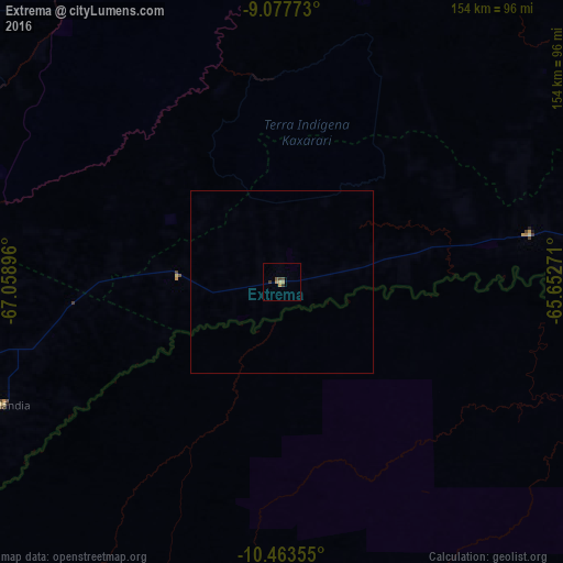
99.7%Clear (daylight) street map image can be seen on geolist.org.
Map coordinates:
9° 4' 39.8" South, 67° 3' 32.3" West
9° 46' 16.9" South, 66° 21' 21" West
10° 27' 48.8" South, 65° 39' 9.8" West
Some cities around Extrema sort by population:
• Rio Branco
160.9 km =100 mi,  261°
261°
• Riberalta, BO
141 km =87.6 mi,  166°
166°
• Guayaramerín, BO
160.2 km =99.5 mi,  137°
137°
• Guajará Mirim
158.5 km =98.5 mi, 135°
• Boca do Acre
161 km =100 mi,  314°
314°
• Plácido de Castro
110.4 km =68.6 mi,  235°
235°
• Senador Guiomard
157 km =97.6 mi,  254°
254°
• Pauini
238.7 km =148.3 mi,  343°
343°
11669695 (p: 6,176)
Sources (retrieved 2019-11-25):
» Earth at Night: Flat Maps 2012, 2016