Boca do Acre night lights from space
Night Light of Boca do Acre (Amazonas) from space (Brazil) Src. Average luminocity for 10x10km area is 4.2397% and for 50x50km: 0.2639%.
Analysis of Boca do Acre night lights 2016
Square area 10x10 km:
 0%
0%90-99
0.62%80-89
0.21%70-79
0.83%60-69
1.03%50-59
0.62%40-49
0.83%30-39
1.65%20-29
0.83%10-19
0%0-9
93.39%Square area 50x50 km:
0%90-99
0.06%80-89
0.04%70-79
0.03%60-69
0.04%50-59
0.06%40-49
0.03%30-39
0.07%20-29
0.03%10-19
0%0-9
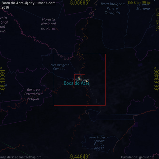
99.63%Clear (daylight) street map image can be seen on geolist.org.
Map coordinates:
8° 3' 23.9" South, 68° 6' 3.3" West
8° 45' 8" South, 67° 23' 52" West
9° 26' 47.4" South, 66° 41' 40.8" West
Some cities around Boca do Acre sort by population:
• Rio Branco
143.3 km =89 mi,  198°
198°
• Riberalta, BO
290.2 km =180.3 mi,  149°
149°
• Sena Madureira
144.2 km =89.6 mi,  256°
256°
• Plácido de Castro
177.6 km =110.4 mi,  172°
172°
• Senador Guiomard
159.8 km =99.3 mi,  193°
193°
• Pauini
124.4 km =77.3 mi,  21°
21°
• Extrema
161 km =100 mi,  134°
134°
• Xapuri
243.5 km =151.3 mi,  209°
209°
3664956 (p: 14,427)
Sources (retrieved 2019-11-25):
» Earth at Night: Flat Maps 2012, 2016