Feijó night lights from space
Night Light of Feijó (Acre) from space (Brazil) Src. Average luminocity for 10x10km area is 9.3182% and for 50x50km: 0.3922%.
Analysis of Feijó night lights 2016
Square area 10x10 km:
 0.41%
0.41%90-99
1.65%80-89
4.75%70-79
0.62%60-69
0%50-59
0%40-49
1.45%30-39
1.86%20-29
0%10-19
0%0-9
89.26%Square area 50x50 km:
0.02%90-99
0.07%80-89
0.19%70-79
0.03%60-69
0%50-59
0%40-49
0.06%30-39
0.08%20-29
0%10-19
0%0-9
99.56%Clear (daylight) street map image can be seen on geolist.org.
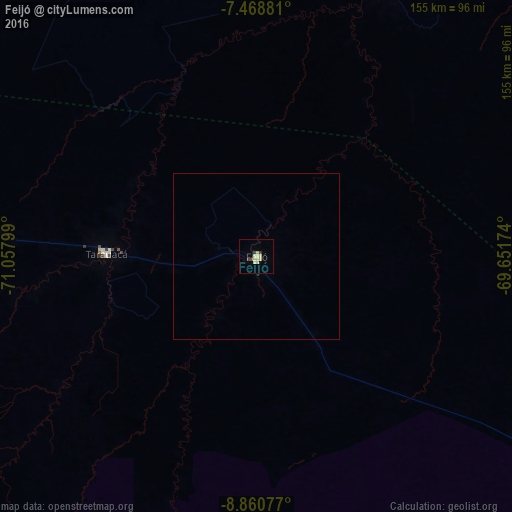
Map coordinates:
7° 28' 7.7" South, 71° 3' 28.8" West
8° 9' 55.4" South, 70° 21' 17.5" West
8° 51' 38.8" South, 69° 39' 6.3" West
Some cities around Feijó sort by population:
• Cruzeiro do Sul
262.7 km =163.2 mi,  283°
283°
• Sena Madureira
210.2 km =130.6 mi,  118°
118°
• Eirunepé
175.6 km =109.1 mi,  17°
17°
• Tarauacá
45.2 km =28.1 mi,  270°
270°
• Boca do Acre
331.7 km =206.1 mi,  101°
101°
• Envira
97.4 km =60.5 mi,  8°
8°
• Mâncio Lima
286.5 km =178 mi, 282°
• Xapuri
343 km =213.1 mi,  143°
143°
3664243 (p: 12,951)
Sources (retrieved 2019-11-25):
» Earth at Night: Flat Maps 2012, 2016