São Mateus night lights from space
Night Light of São Mateus (Espírito Santo) from space (Brazil) Src. Average luminocity for 10x10km area is 50.75% and for 50x50km: 7.2295%.
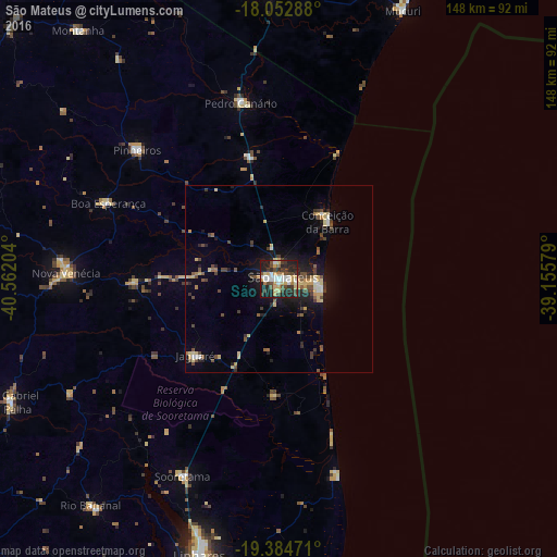
Analysis of São Mateus night lights 2016
Square area 10x10 km:
 8.68%
8.68%90-99
10.12%80-89
11.36%70-79
5.17%60-69
2.89%50-59
2.27%40-49
11.78%30-39
8.68%20-29
18.8%10-19
20.04%0-9
0.21%Square area 50x50 km:
0.61%90-99
0.63%80-89
1.71%70-79
0.67%60-69
0.45%50-59
0.79%40-49
2.02%30-39
0.97%20-29
1.9%10-19
4.81%0-9
85.45%Clear (daylight) street map image can be seen on geolist.org.
Map coordinates:
18° 3' 10.4" South, 40° 33' 43.3" West
18° 43' 12.4" South, 39° 51' 32.1" West
19° 23' 5" South, 39° 9' 20.8" West
Some cities around São Mateus sort by population:
• Linhares
77.9 km =48.4 mi,  196°
196°
• Nova Venécia
57.1 km =35.5 mi,  271°
271°
• Mucuri
77.6 km =48.2 mi,  24°
24°
• Posto da Mata
92.5 km =57.5 mi,  0°
0°
• Conceição da Barra
19.4 km =12.1 mi,  43°
43°
• Montanha
84.7 km =52.6 mi,  321°
321°
• Mucurici
98.3 km =61.1 mi, 315°
• Boa Esperança
50.2 km =31.2 mi,  293°
293°
3448519 (p: 77,117)
Sources (retrieved 2019-11-25):
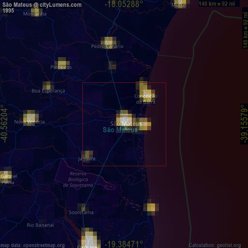
» NASA, Earths city lights 1995
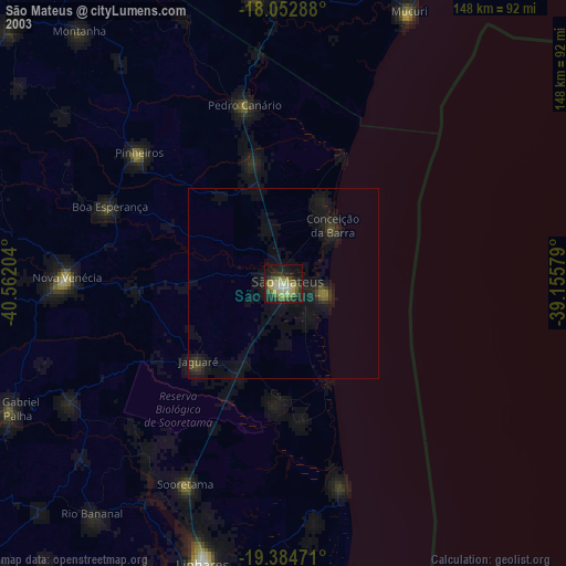
» NASA city lights 2003
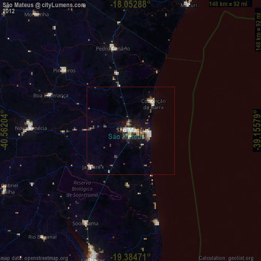
» Earth at Night: Flat Maps 2012, 2016