Mucuri night lights from space
Night Light of Mucuri (Bahia) from space (Brazil) Src. Average luminocity for 10x10km area is 15.2078% and for 50x50km: 1.3819%.
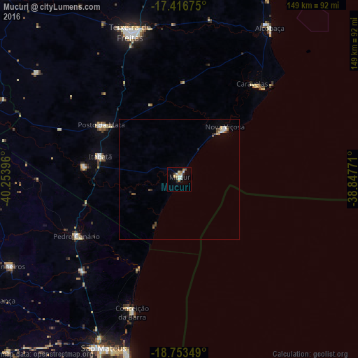
Analysis of Mucuri night lights 2016
Square area 10x10 km:
 1.08%
1.08%90-99
4.98%80-89
2.16%70-79
2.16%60-69
1.3%50-59
0.65%40-49
2.38%30-39
0%20-29
1.52%10-19
1.52%0-9
82.25%Square area 50x50 km:
0.12%90-99
0.27%80-89
0.2%70-79
0.14%60-69
0.15%50-59
0.16%40-49
0.32%30-39
0.08%20-29
0.18%10-19
0.1%0-9
98.29%Clear (daylight) street map image can be seen on geolist.org.
Map coordinates:
17° 25' 0.3" South, 40° 15' 14.3" West
18° 5' 11" South, 39° 33' 3" West
18° 45' 12.6" South, 38° 50' 51.8" West
Some cities around Mucuri sort by population:
• São Mateus
77.6 km =48.2 mi,  204°
204°
• Nanuque
89.3 km =55.5 mi,  287°
287°
• Posto da Mata
39.1 km =24.3 mi,  304°
304°
• Nova Viçosa
28.7 km =17.8 mi,  41°
41°
• Conceição da Barra
59.5 km =37 mi, 198°
• Prado
89.9 km =55.9 mi,  22°
22°
• Montanha
86 km =53.4 mi,  266°
266°
• Boa Esperança
93.4 km =58 mi,  237°
237°
3456593 (p: 26,775)
Sources (retrieved 2019-11-25):
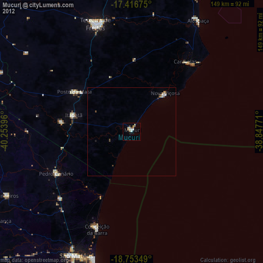
» Earth at Night: Flat Maps 2012, 2016