Conceição da Barra night lights from space
Night Light of Conceição da Barra (Espírito Santo) from space (Brazil) Src. Average luminocity for 10x10km area is 15.7335% and for 50x50km: 5.8834%.
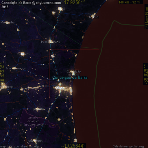
Analysis of Conceição da Barra night lights 2016
Square area 10x10 km:
 2.07%
2.07%90-99
1.24%80-89
4.96%70-79
0.41%60-69
1.24%50-59
0.62%40-49
4.96%30-39
1.45%20-29
3.51%10-19
3.72%0-9
75.83%Square area 50x50 km:
0.62%90-99
0.66%80-89
1.33%70-79
0.61%60-69
0.28%50-59
0.52%40-49
1.47%30-39
0.73%20-29
1.61%10-19
4.48%0-9
87.69%Clear (daylight) street map image can be seen on geolist.org.
Map coordinates:
17° 55' 32.2" South, 40° 26' 7.3" West
18° 35' 36" South, 39° 43' 56" West
19° 15' 30.4" South, 39° 1' 44.8" West
Some cities around Conceição da Barra sort by population:
• Linhares
95.6 km =59.4 mi,  201°
201°
• São Mateus
19.4 km =12.1 mi,  223°
223°
• Nova Venécia
71.6 km =44.5 mi,  259°
259°
• Mucuri
59.5 km =37 mi,  18°
18°
• Posto da Mata
79.5 km =49.4 mi,  350°
350°
• Nova Viçosa
86.8 km =53.9 mi,  26°
26°
• Montanha
84.4 km =52.4 mi,  307°
307°
• Boa Esperança
59.7 km =37.1 mi,  275°
275°
3465769 (p: 19,309)
Sources (retrieved 2019-11-25):
» Earth at Night: Flat Maps 2012, 2016