Nova Venécia night lights from space
Night Light of Nova Venécia (Espírito Santo) from space (Brazil) Src. Average luminocity for 10x10km area is 30.7645% and for 50x50km: 2.8598%.
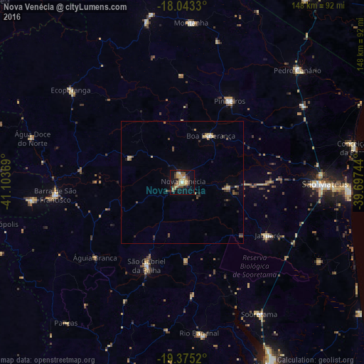
Analysis of Nova Venécia night lights 2016
Square area 10x10 km:
 1.45%
1.45%90-99
1.03%80-89
10.74%70-79
5.17%60-69
3.1%50-59
4.13%40-49
7.23%30-39
5.37%20-29
2.89%10-19
27.48%0-9
31.4%Square area 50x50 km:
0.11%90-99
0.06%80-89
0.84%70-79
0.33%60-69
0.31%50-59
0.42%40-49
0.75%30-39
0.49%20-29
0.45%10-19
1.41%0-9
94.84%Clear (daylight) street map image can be seen on geolist.org.
Map coordinates:
18° 2' 35.9" South, 41° 6' 13.3" West
18° 42' 38" South, 40° 24' 2" West
19° 22' 30.7" South, 39° 41' 50.8" West
Some cities around Nova Venécia sort by population:
• São Mateus
57.1 km =35.5 mi,  91°
91°
• Barra de São Francisco
51.9 km =32.2 mi,  264°
264°
• Conceição da Barra
71.6 km =44.5 mi,  79°
79°
• Ecoporanga
58.8 km =36.5 mi,  309°
309°
• Montanha
65 km =40.4 mi,  3°
3°
• Mucurici
69.7 km =43.3 mi,  349°
349°
• Boa Esperança
21.9 km =13.6 mi,  30°
30°
• Pancas
74.3 km =46.2 mi,  219°
219°
3456110 (p: 28,362)
Sources (retrieved 2019-11-25):
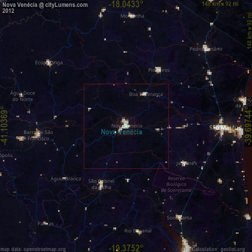
» Earth at Night: Flat Maps 2012, 2016