Posto da Mata night lights from space
Night Light of Posto da Mata (Bahia) from space (Brazil) Src. Average luminocity for 10x10km area is 20.8766% and for 50x50km: 2.2961%.
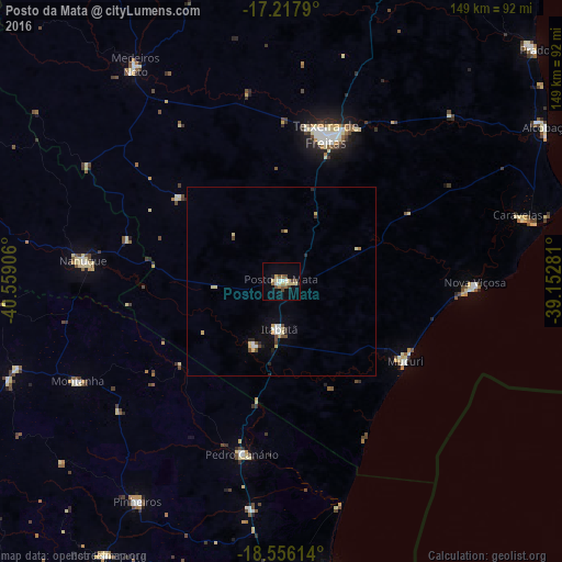
Analysis of Posto da Mata night lights 2016
Square area 10x10 km:
 2.38%
2.38%90-99
1.95%80-89
6.06%70-79
1.73%60-69
1.73%50-59
2.38%40-49
5.41%30-39
1.3%20-29
0.65%10-19
5.63%0-9
70.78%Square area 50x50 km:
0.22%90-99
0.27%80-89
0.64%70-79
0.18%60-69
0.1%50-59
0.14%40-49
0.55%30-39
0.14%20-29
0.31%10-19
0.61%0-9
96.84%Clear (daylight) street map image can be seen on geolist.org.
Map coordinates:
17° 13' 4.4" South, 40° 33' 32.6" West
17° 53' 17.8" South, 39° 51' 21.3" West
18° 33' 22.1" South, 39° 9' 10.1" West
Some cities around Posto da Mata sort by population:
• Nanuque
53 km =32.9 mi,  275°
275°
• Mucuri
39.1 km =24.3 mi,  124°
124°
• Nova Viçosa
51.2 km =31.8 mi,  90°
90°
• Conceição da Barra
79.5 km =49.4 mi,  170°
170°
• Medeiros Neto
69 km =42.9 mi,  325°
325°
• Montanha
59.9 km =37.2 mi,  243°
243°
• Mucurici
73.4 km =45.6 mi,  251°
251°
• Boa Esperança
86.1 km =53.5 mi,  212°
212°
3454839 (p: 22,168)
Sources (retrieved 2019-11-25):
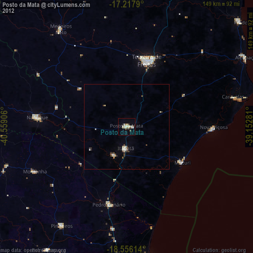
» Earth at Night: Flat Maps 2012, 2016