Santa Vitória night lights from space
Night Light of Santa Vitória (Minas Gerais) from space (Brazil) Src. Average luminocity for 10x10km area is 10.5693% and for 50x50km: 0.6104%.
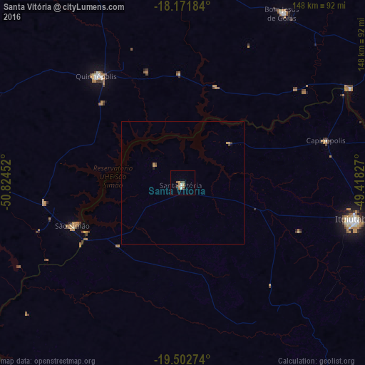
Analysis of Santa Vitória night lights 2016
Square area 10x10 km:
 1.3%
1.3%90-99
1.3%80-89
0.87%70-79
3.25%60-69
1.08%50-59
2.16%40-49
2.16%30-39
0%20-29
0%10-19
0.43%0-9
87.45%Square area 50x50 km:
0.05%90-99
0.05%80-89
0.05%70-79
0.21%60-69
0.1%50-59
0.08%40-49
0.16%30-39
0.02%20-29
0.02%10-19
0.04%0-9
99.21%Clear (daylight) street map image can be seen on geolist.org.
Map coordinates:
18° 10' 18.6" South, 50° 49' 28.3" West
18° 50' 19" South, 50° 7' 17" West
19° 30' 9.9" South, 49° 25' 5.8" West
Some cities around Santa Vitória sort by population:
• Ituiutaba
71 km =44.1 mi,  102°
102°
• Itumbiara
106.3 km =66.1 mi,  63°
63°
• Quirinópolis
55.6 km =34.5 mi,  321°
321°
• Iturama
99.2 km =61.6 mi,  184°
184°
• Campina Verde
102.3 km =63.6 mi,  139°
139°
• Capinópolis
60.6 km =37.7 mi,  73°
73°
• Caçu
110.8 km =68.8 mi,  286°
286°
• Centralina
101.1 km =62.8 mi, 73°
3449749 (p: 11,656)
Sources (retrieved 2019-11-25):
» Earth at Night: Flat Maps 2012, 2016