Caçu night lights from space
Night Light of Caçu (Goiás) from space (Brazil) Src. Average luminocity for 10x10km area is 6.4607% and for 50x50km: 0.6649%.
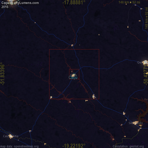
Analysis of Caçu night lights 2016
Square area 10x10 km:
 0%
0%90-99
0%80-89
0%70-79
2.48%60-69
1.24%50-59
2.69%40-49
2.27%30-39
0.41%20-29
0.83%10-19
0.62%0-9
89.46%Square area 50x50 km:
0.02%90-99
0.05%80-89
0.03%70-79
0.25%60-69
0.12%50-59
0.17%40-49
0.18%30-39
0.02%20-29
0.03%10-19
0.09%0-9
99.03%Clear (daylight) street map image can be seen on geolist.org.
Map coordinates:
17° 53' 19.7" South, 51° 50' 2.3" West
18° 33' 24" South, 51° 7' 51" West
19° 13' 18.9" South, 50° 25' 39.8" West
Some cities around Caçu sort by population:
• Rio Verde
87 km =54.1 mi,  14°
14°
• Jataí
97.8 km =60.8 mi,  320°
320°
• Santa Helena de Goiás
100 km =62.1 mi,  34°
34°
• Paranaíba
124.8 km =77.5 mi,  182°
182°
• Quirinópolis
72.6 km =45.1 mi,  80°
80°
• Iturama
163.1 km =101.3 mi,  142°
142°
• Cassilândia
88.7 km =55.1 mi,  225°
225°
• Santa Vitória
110.8 km =68.8 mi,  106°
106°
3468352 (p: 10,098)
Sources (retrieved 2019-11-25):
» Earth at Night: Flat Maps 2012, 2016